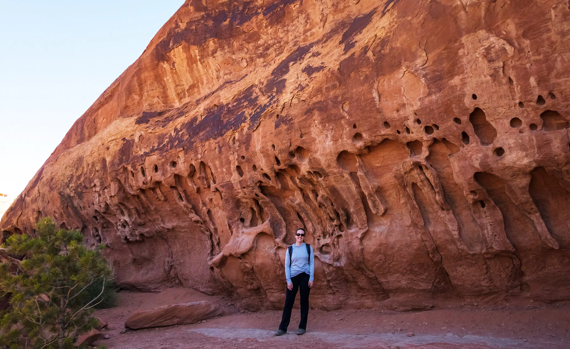
On Wednesday, we have a leisurely morning. The trip has been photographically productive already, and I’m all sunrised out for the week (this is, after all, a vacation). After a few days of long hikes, we sleep in, pack up our cabin, and head out of the Tetons. After four years, we’re expanding our view of Wyoming beyond the boundaries of Jackson Hole and the Greater Yellowstone area, heading toward the Wind River Range at the central part of the state, home to its tallest peaks. After a brief stop in Jackson to stock up on groceries, we drive south on Hwy 191 to the town of Pinedale in Sublette County. Pinedale, large and relatively suburban as it is by Wyoming standards, has portions that resemble a classic little cattlehand town of the American West: a single Main Street, a few diners and bars, and an outfitting store that serves as portal to the Winds. Like hungry animals, we devour a terrific lunch of hash and eggs at the Wrangler Cafe. Before checking into our motel for the next two nights, we kill a few hours exploring the town and sitting beside Pine Creek in the nearby park. Strolling through the largely suburban setting (flat paved paths, nearby single family homes, the sound of lawnmowers), I am just commenting that it feels like we’ve been transported to Southern California - when we come nearly face-to-face with another placid bull moose browsing through the shrubbery. We carefully sneak past him back to our car.
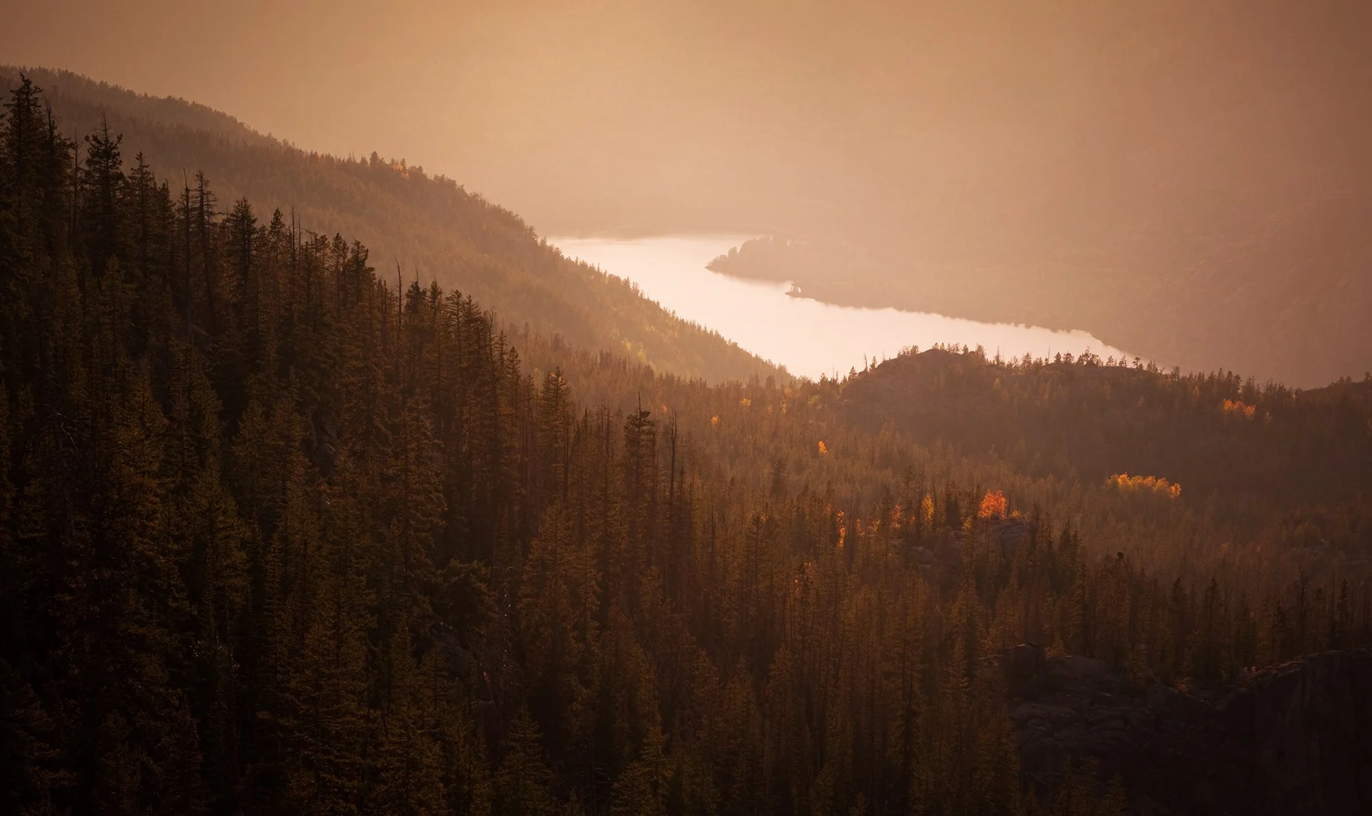
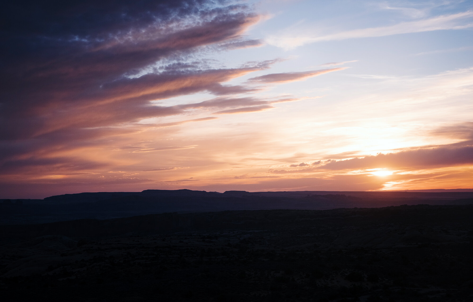
After a nap, we drive out of town and up into the mountains. Our destination is Elkhart Park, launching point for many of the Wind Rivers’ best backpacking routes. Our hike for the afternoon is much shorter - two miles up and two miles down to catch sunset on the Wind River Range from the Sacred Rim. The trail is steeper and a bit less maintained than the well-groomed national park paths we’ve been tramping on; it cuts through some areas of blown-down timber and across a few small creeks before ascending into a jumble of rocks. The rim is revealed suddenly as we reach the top of the rocks - a jaw-dropping panorama of granite peaks, serrated ridges, alpine wilderness, all fronted by the cerulean blue sheen of Long Lake cutting through the canyon below us. I carefully make my way out onto a rocky outcrop on the edge of the canyon; I’m not typically affected by heights, but the dizzying lean of the boulders, the powerful afternoon updrafts along the mountain wall, and the exposed drops in three directions are enough to make my knees buckle. I set up my tripod in a sheltered crevice in the rock; Jane, who is a saint, sits with me on the canyon’s edge for nearly two hours as I work on a long sunset timelapse. During the golden hour, I focus on Long Lake (glowing like a gemstone beneath the silhouetted trees) and the pink glow of day’s last light on the distant peaks. Camera packed away, we all but glissade back down the stone trail, reaching the safety of our car just as night fully falls.


On the final full day of our trip, we have another relaxed morning (breakfast at our motel, a brief walk around town, purchasing a book and a souvenir magnet) before leaving Pinedale in the afternoon for another sunset outing. This time, we’re heading north on Hwy 352, bound for the Green River Lakes. After about 25 miles, the highway transforms into a gravel road - easily passable in our midsize SUV, but quite washboarded and overall slow going. We slowly make our way north and then east, following the curve of the Green River (whose lower reaches we last saw in Moab) toward its source in the Wind Rivers. The range rises over us to the east, a north-south wall of distant spires and crumpled granite. The last twenty miles of the drive takes us approximately an hour, including some brief pauses on the roadside to photograph the lonely, open spaces of Wyoming’s countryside, elegantly golden at the peak of autumn.
After a long ride, we turn into the Green River Lakes campground and are greeted by a gorgeous landscape quite reminiscent of the Northern Rockies: a beautiful crystal lake between forested mountainsides, backed by the harsh granite of Squaretop Mountain. Jane and I set off on a brief hike along the north shore of Lower Green Lake, which follows the Continental Divide Trail. We take some selfies and portraits among the aspens on the hillside before returning to the campground to set up for sunset. Jane hangs around the lakeshore for the next hour while I photograph the light settling in on the mountaintops and the adjacent hillsides. Scattered rains come and go across the valley, but overall the weather holds up beautifully. Except for one family playing with an inflatable kayak across the beach, we are completely alone for a quiet sunset in the wilderness. Jane takes over the wheel for our long drive out on the gravel road; we’re back in Pinedale at 9 PM, and drive back to Jackson the next morning to fly home to Boston.