Day 6 & 7: The Sneffels Range

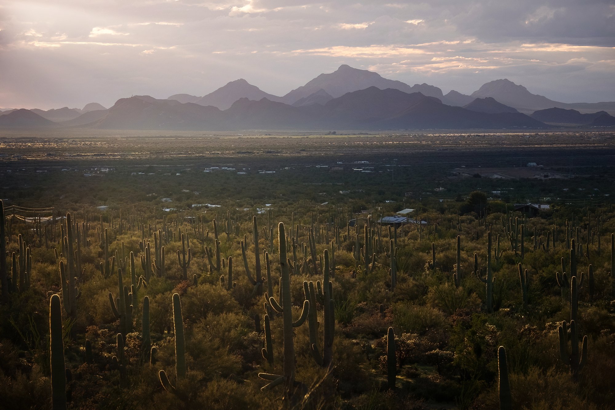
Thursday morning. It’s getting progressively harder to drag myself out of bed for sunrise, but I manage to do it anyways, in spite of the blasé weather reports (even more sun, even more clear skies… woo hoo) and past-peak condition of the local aspens. My destination for the morning is only a short drive away - the roadside overlook at the Dallas Divide, where CO-62 crests a high saddle between the San Juan Mountains to the south, and the Uncompahgre Plateau to the north. In the pre-dawn darkness, I find that the big gravel pullout on the other side of the highway is pretty packed - another workshop group has found its way here first. I set up near the end of the tripod line, and the other photographers and I watch as the sun rises over the Uncompahgre Wilderness to the east, cresting the high summits and gradually painting the Sneffels Range in early morning light. Though parts of the intervening slopes are barren, the glow of the morning sun covers this up nicely, and the scene is soon suffused in warm, beautiful light. I work a variety of close and long compositions including the mountains and the trees. No clouds in the sky, nor snow on the peaks - but the landscape is still quite lovely, nevertheless.

The rest of the morning is spent gradually working my way eastward back toward Ridgway, turning off onto the various county dirt roads that cut into the foothills below the Sneffels Range, and poking around for interesting scenes and compositions. County Road 9 is the first such turn-off, just a few miles to the east of the Dallas Divide. The road cuts through the Double RL (Ralph Lauren Ranch), featuring impressive views of the mountainous wall to the south. However, the aspen groves further up the road are pretty spotty, and I fail to see much worth coming back during sunset or sunrise. I turn around near an old, apparently abandoned cabin just before a construction site by the edge of the road, and move onward to the east.

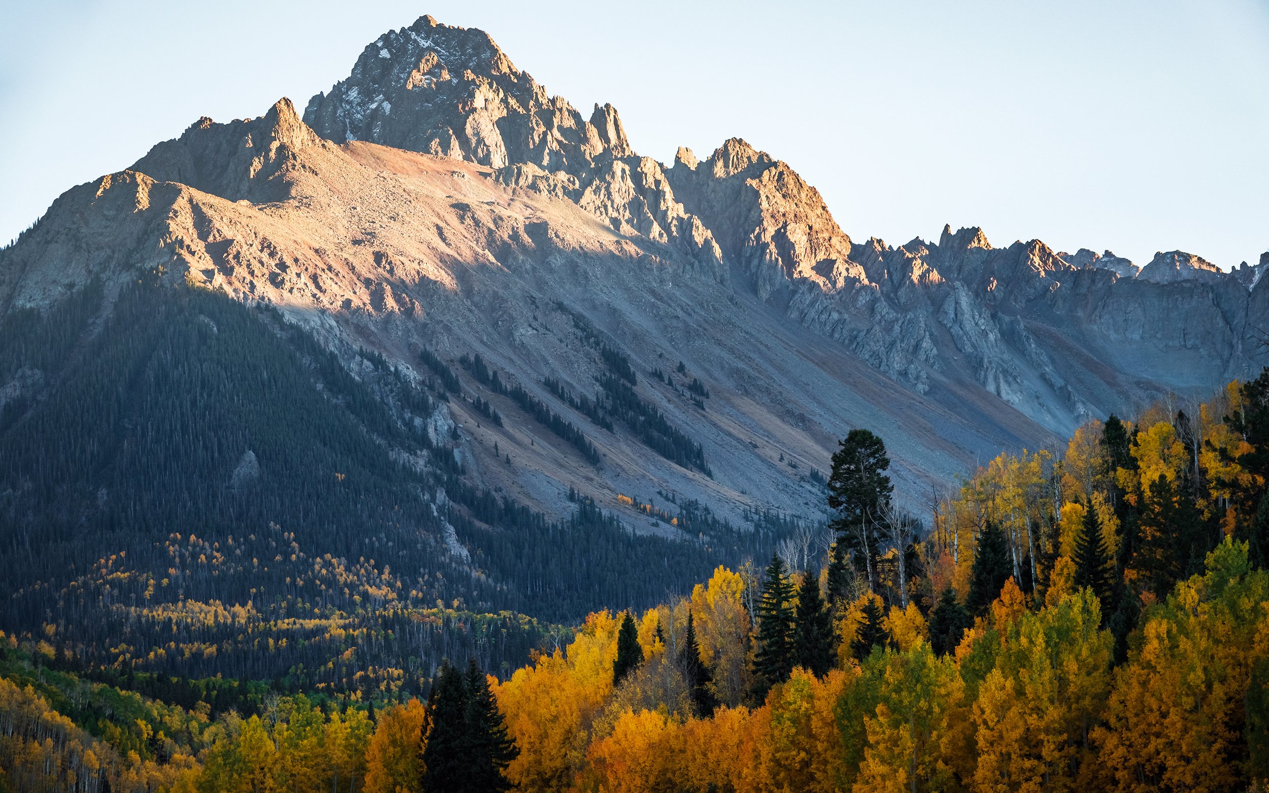
County Road 7 is next to the east. The drive up involves an easily passable but increasingly bumpy dirt-and-gravel ride approximately seven miles uphill. Along the way, I photograph the reflection of the mountains in a roadside pond, and continue onward to the border of a meadow below Mt. Sneffels, where I decide to pause for photographs. Here, a stand of brilliant aspens provides a nice foreground element, while the mountain cirque flares outward like an amphitheatre in the background. After taking some scout shots and admiring the foliage, I decide to come back to this location for sunset tonight — perhaps the last and best bit of autumn color on this side of the San Juans.

Almost back in town, I turn off the highway and drive past a few residential blocks before turning uphill again along County Road 5. This dirt road is the best-graded of the three, and it’s an easy ride to the top another plateau that offers sweeping views of Sneffels Range from a slightly different perspective, with Mt. Sneffels itself further back and to the right of the scene compared to the direct view on CR-7. After scouting around this road as well, I decide to return to the end of this road, in front of a large open field by the roadside, for sunrise tomorrow. It’s late morning now, and the sunlight has become increasingly harsh and ugly for large landscapes. I beat a hasty retreat back to Ridgway and grab another takeout brunch - this time, a breakfast platter of eggs, sausage, and home fries from Greenwood’s across the street - before returning to my hotel room for my lazy mid-day rest.

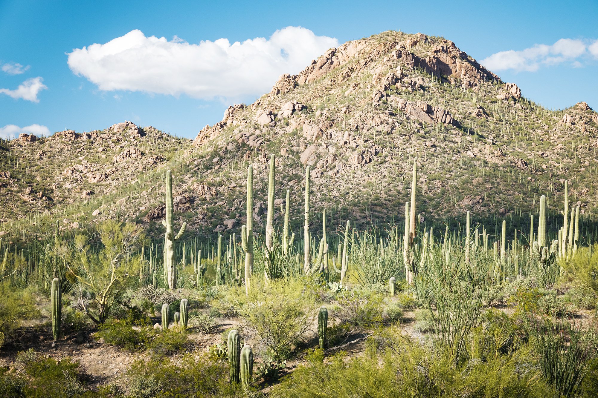
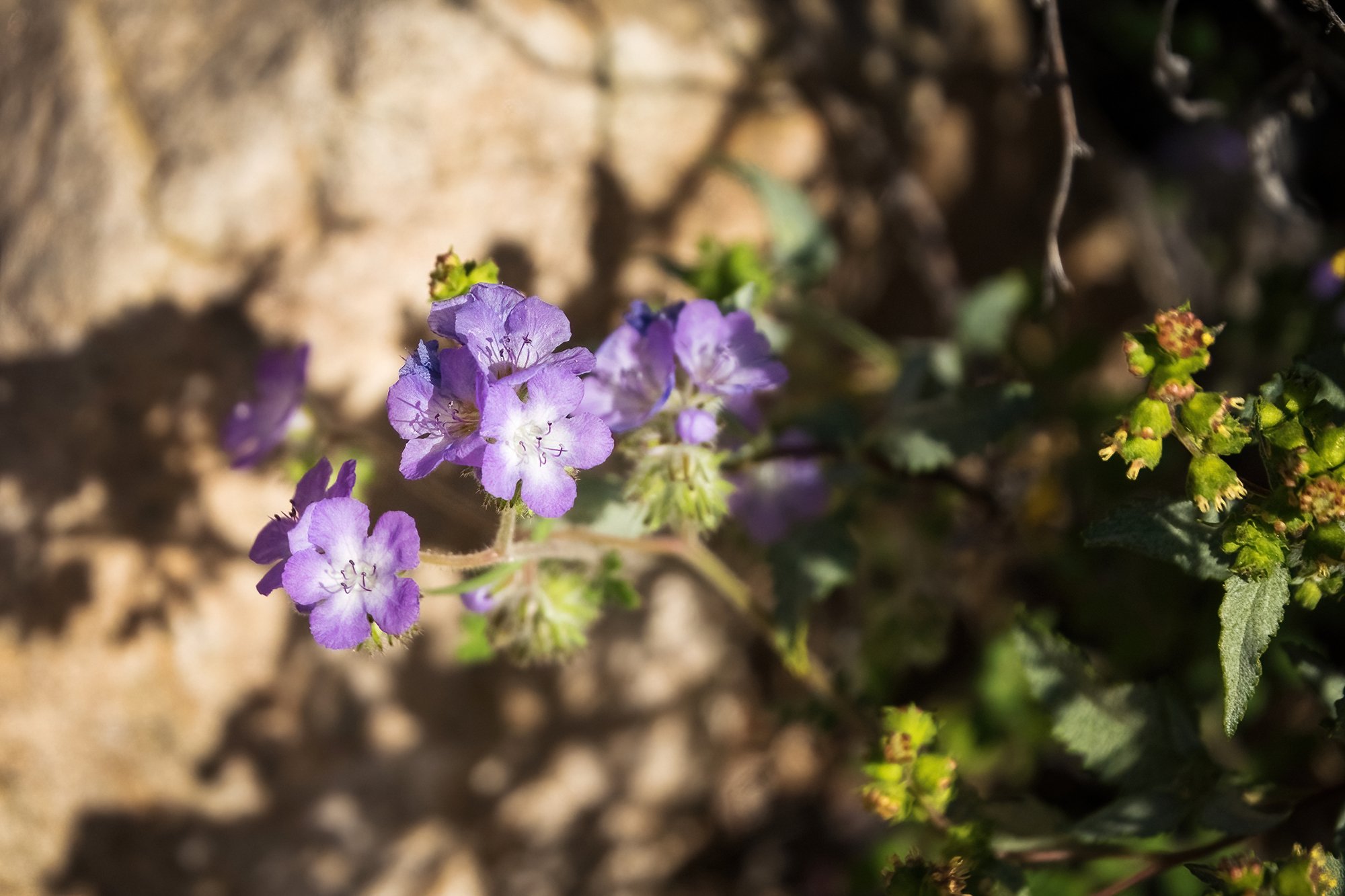
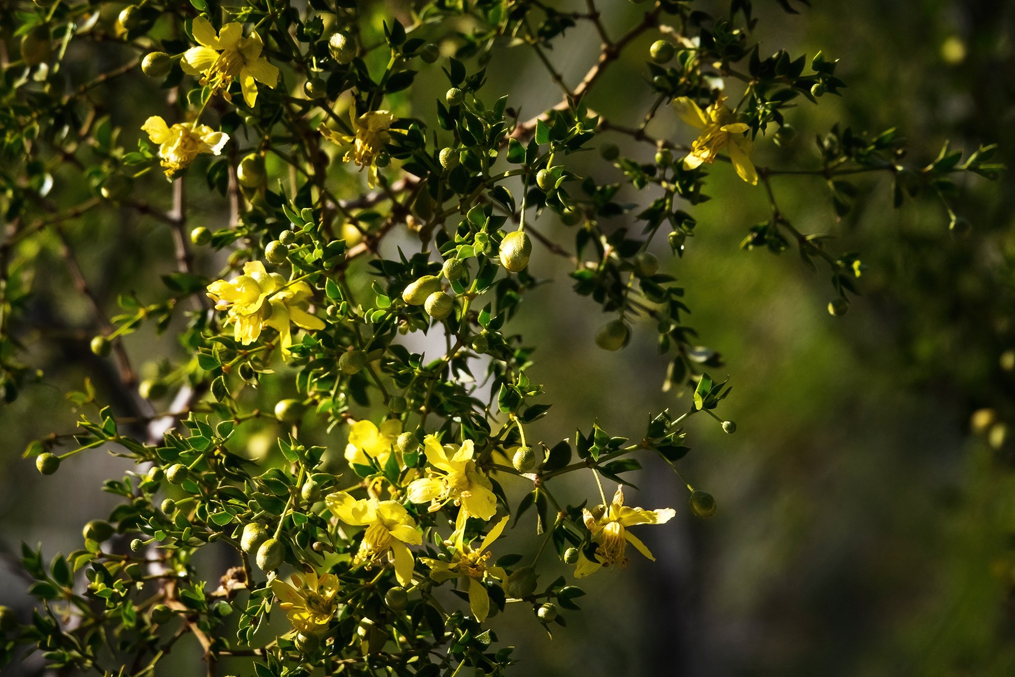
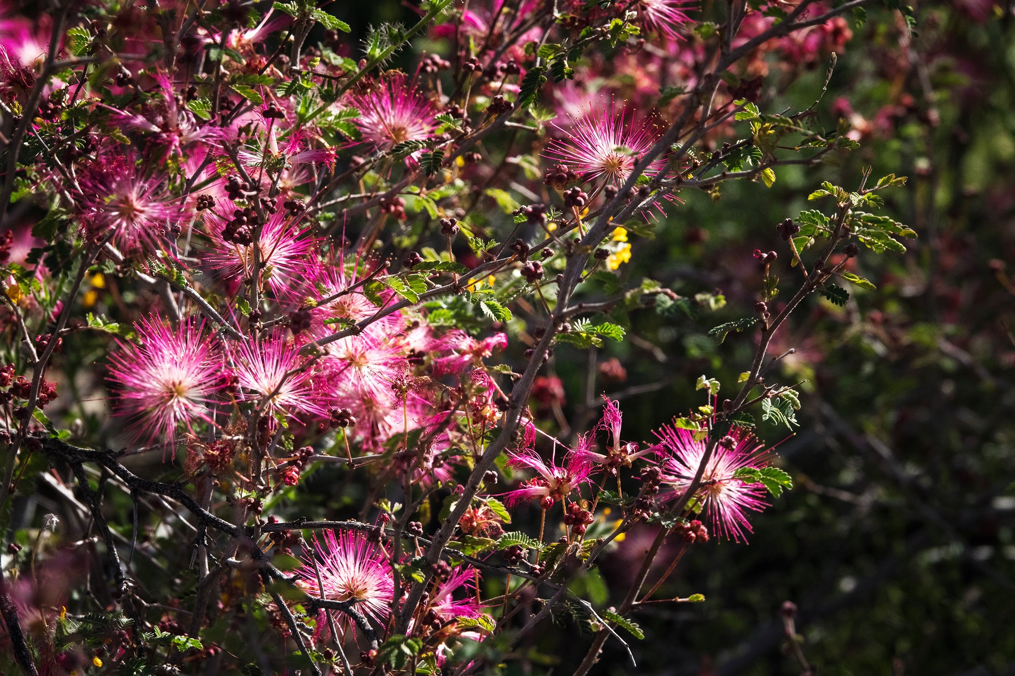
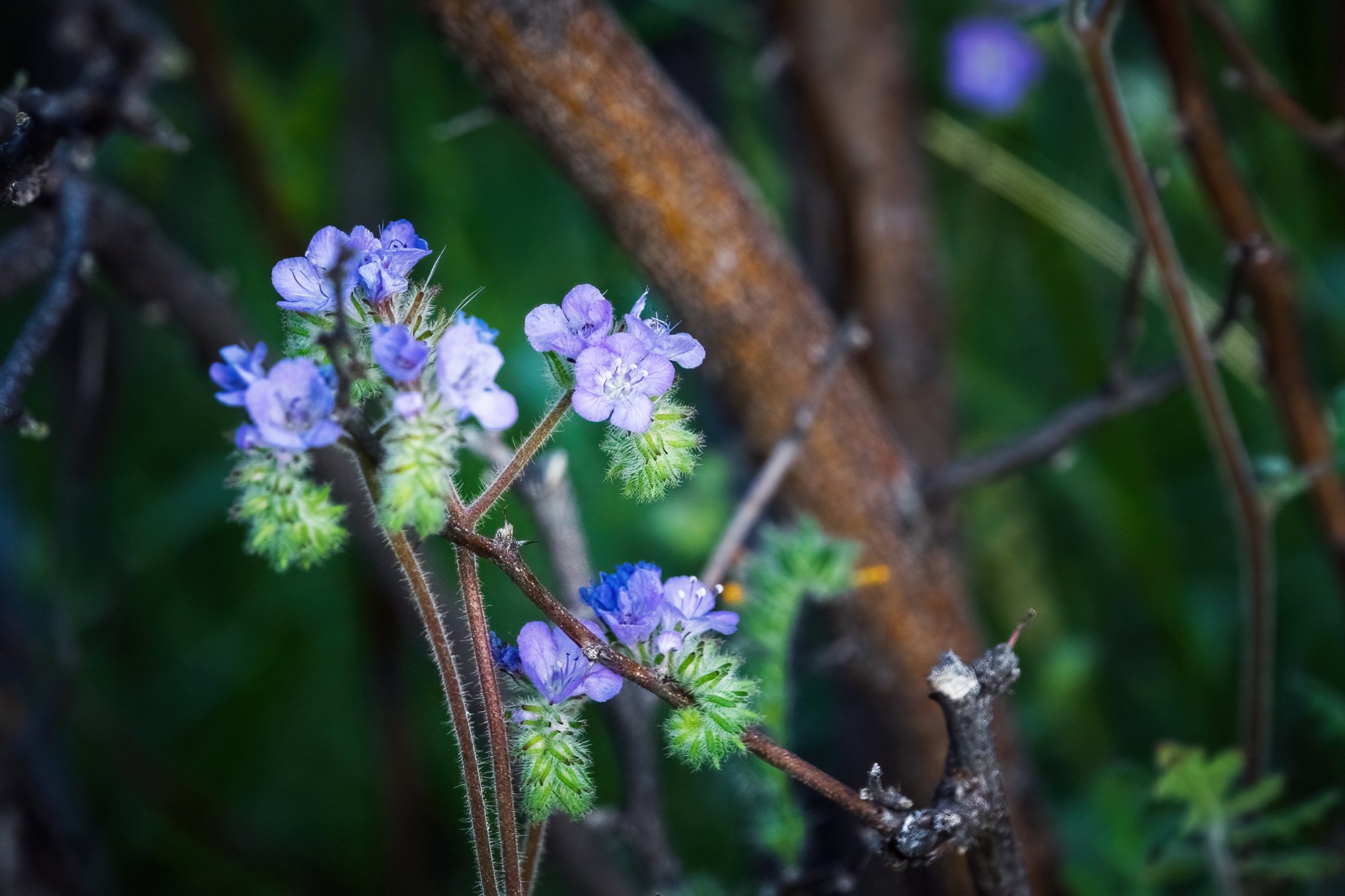
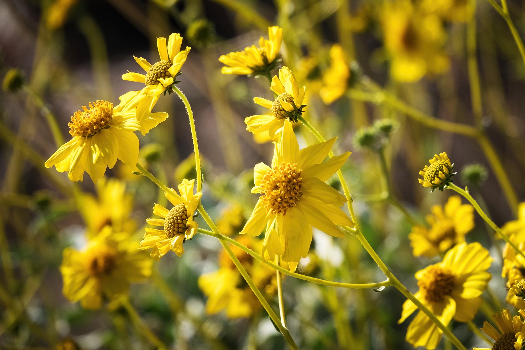
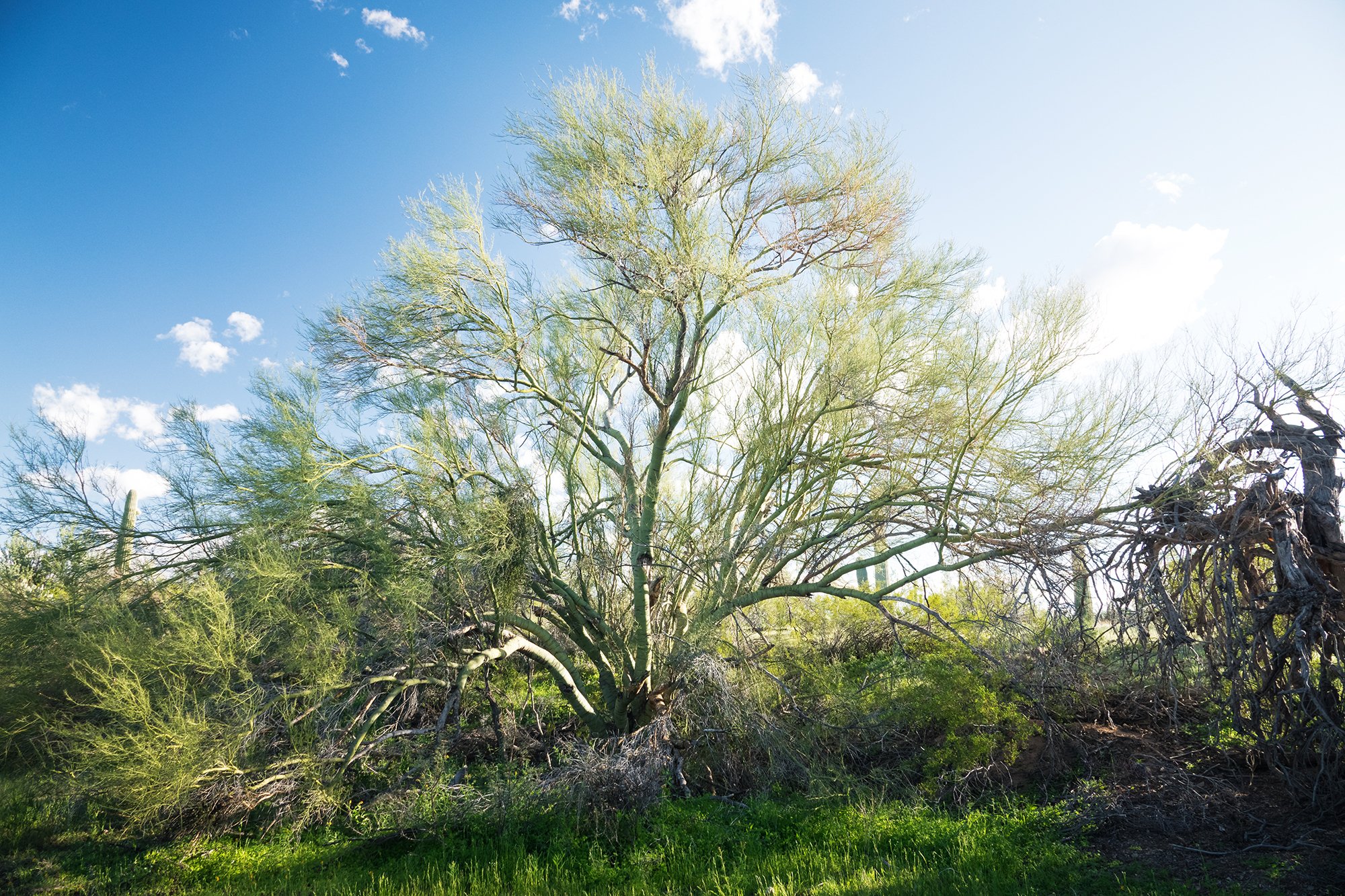
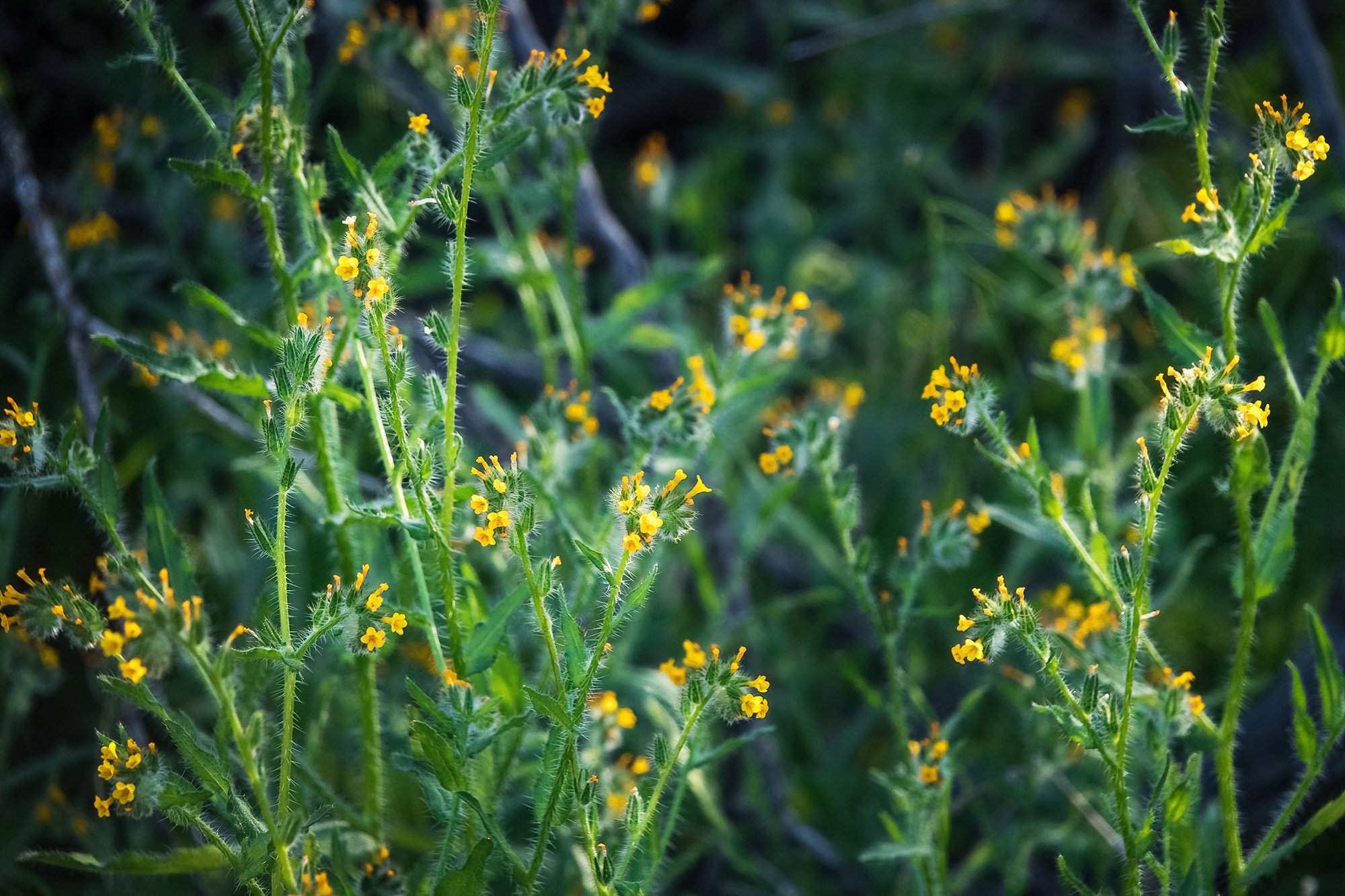
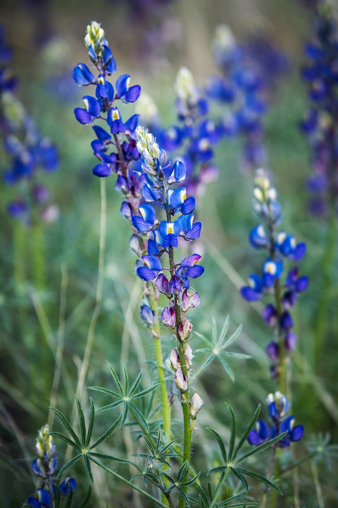
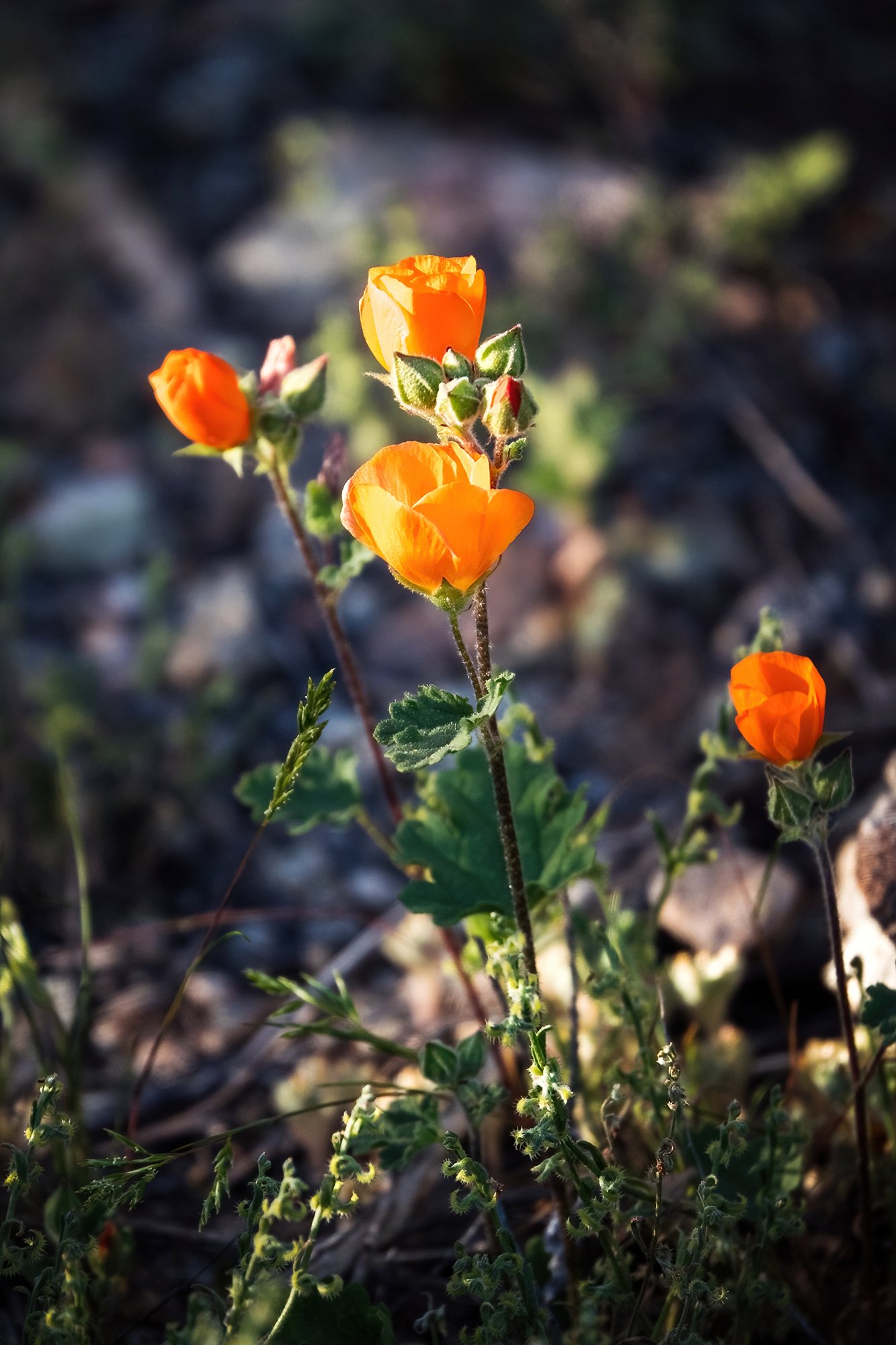
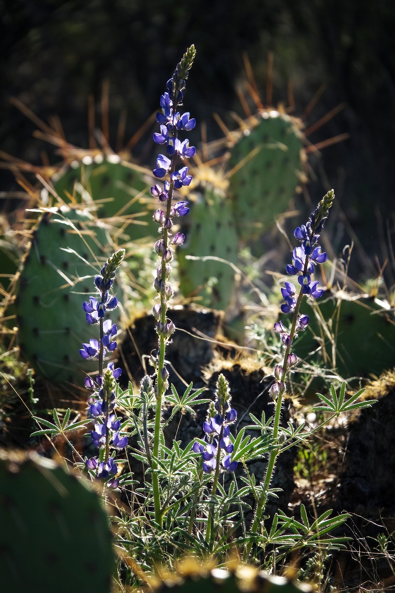
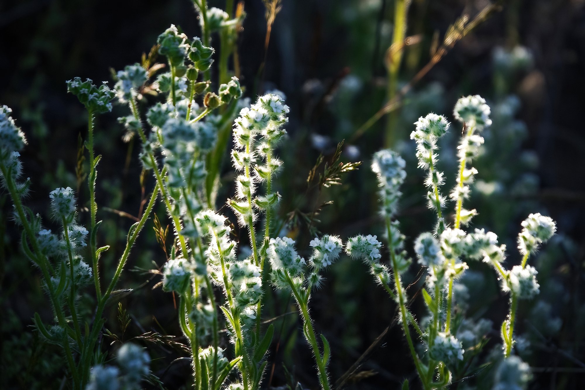
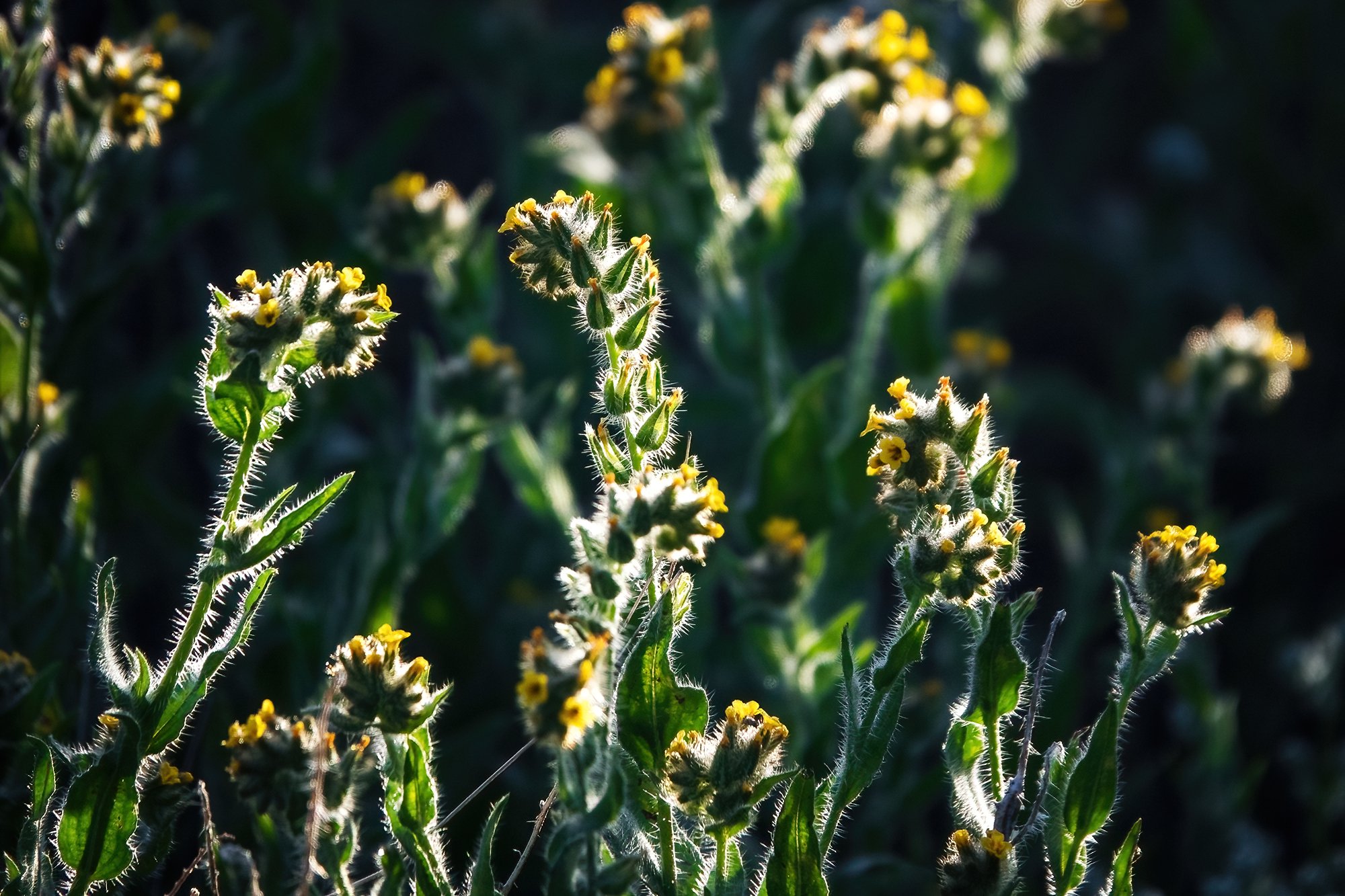
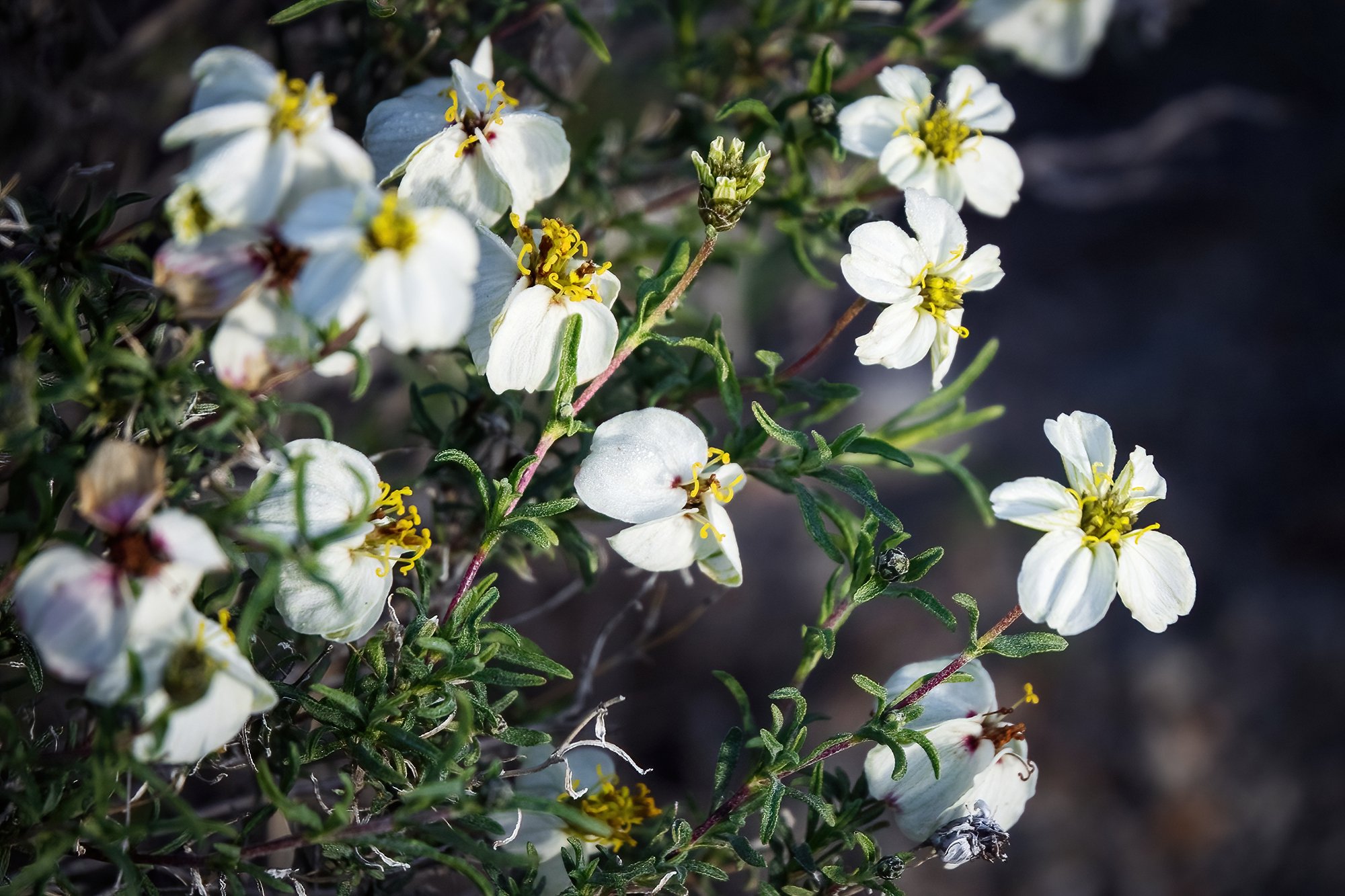
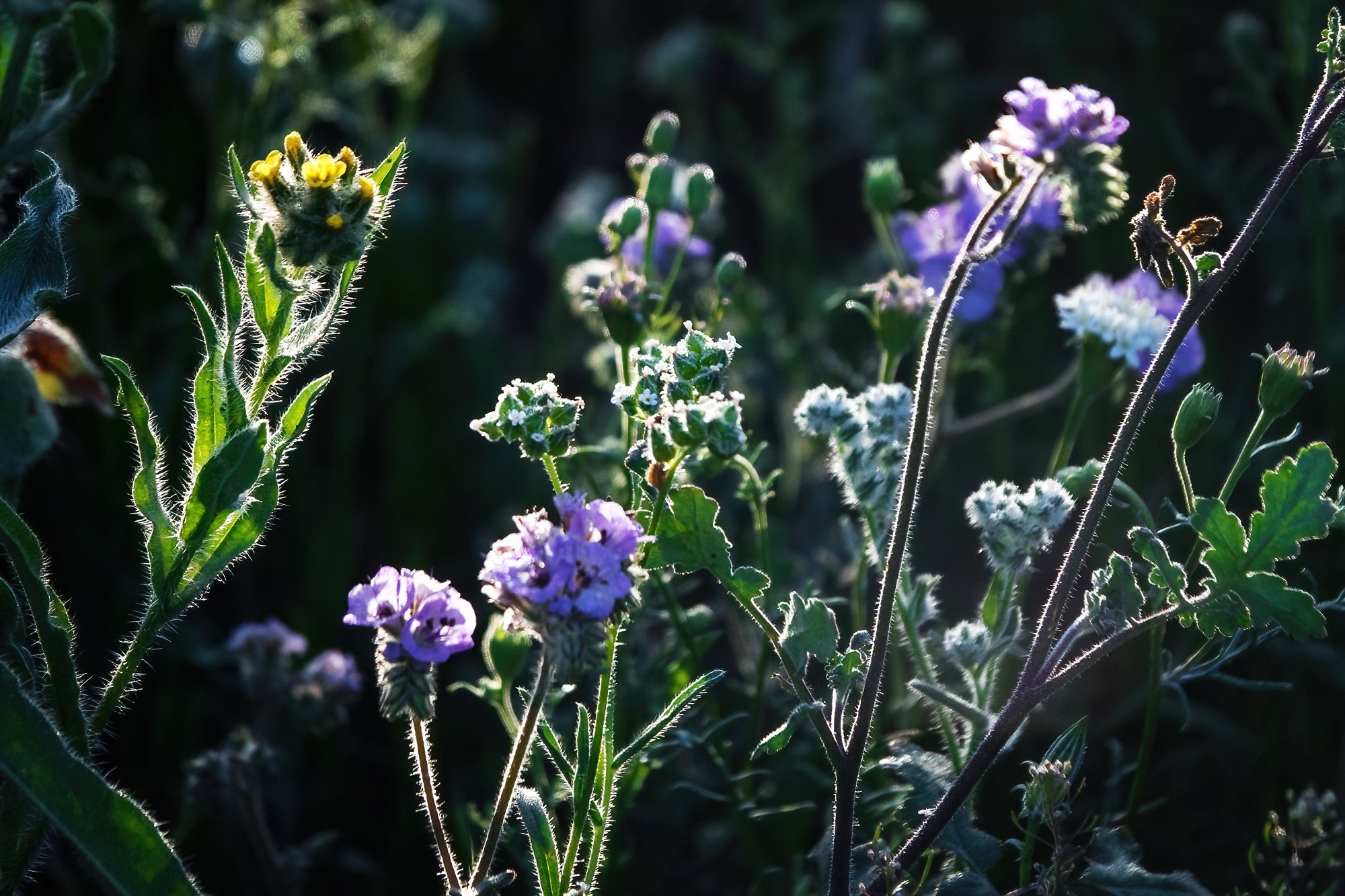
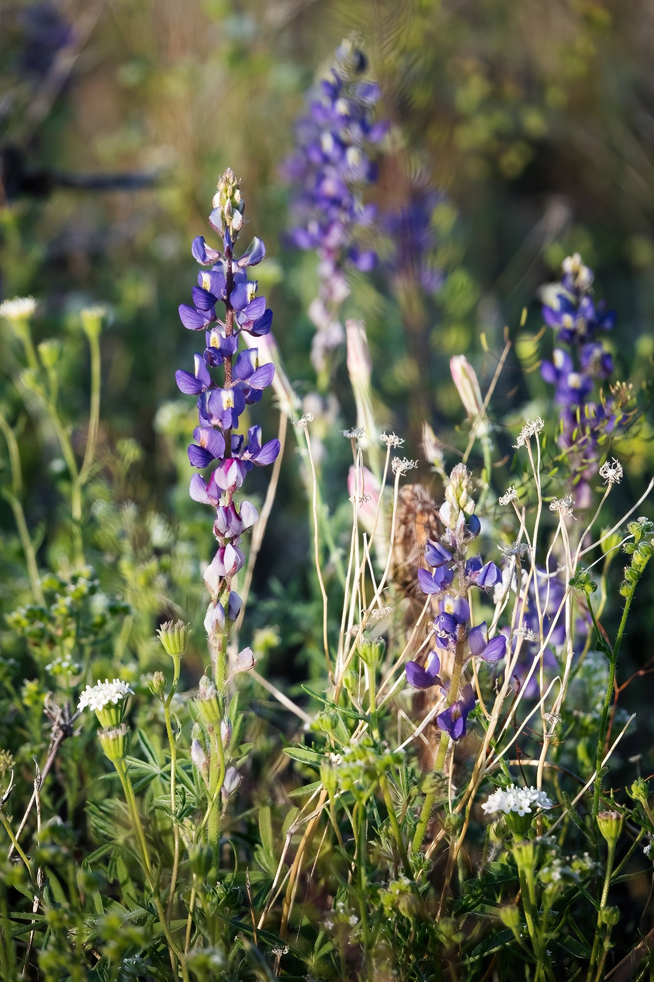
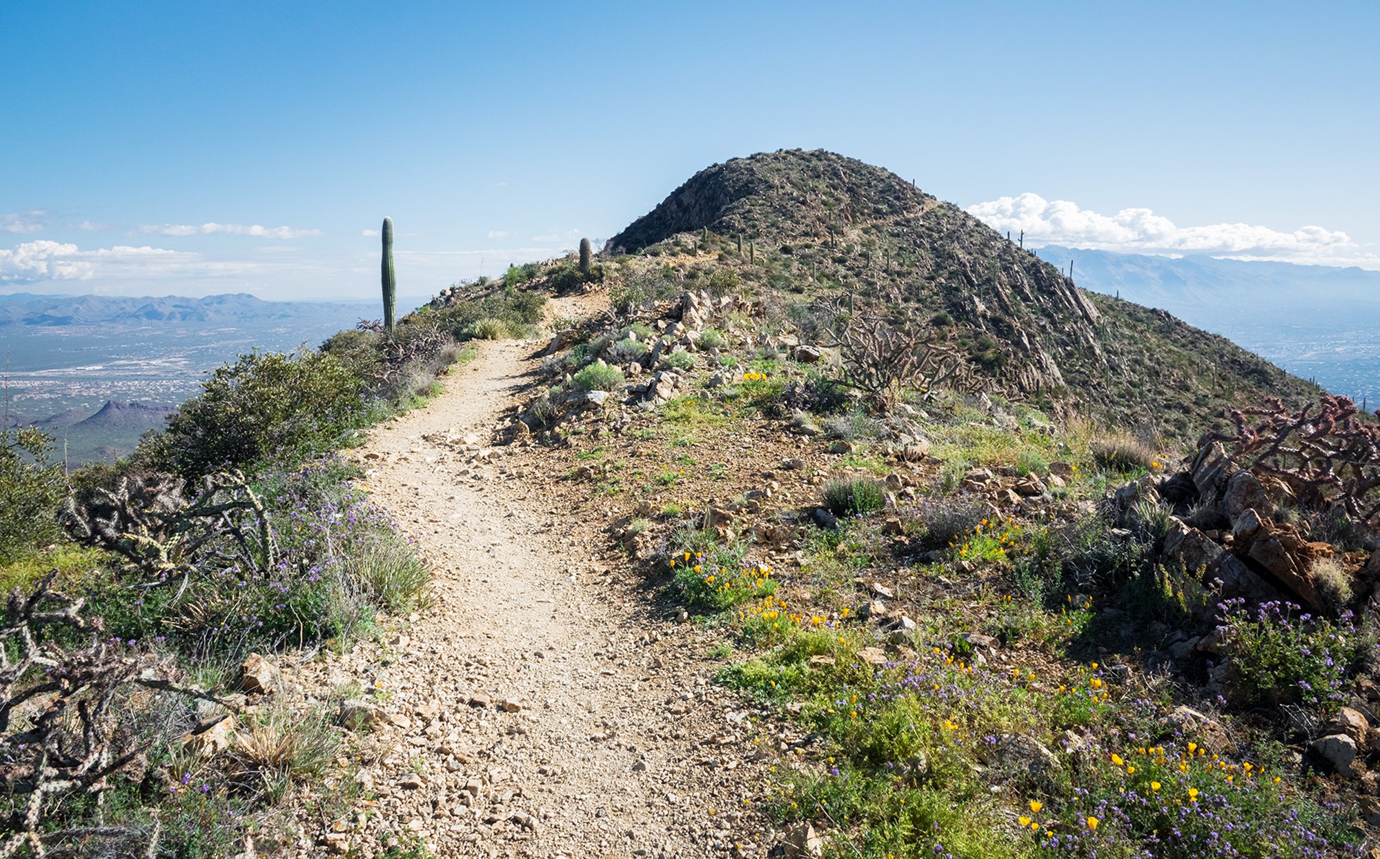
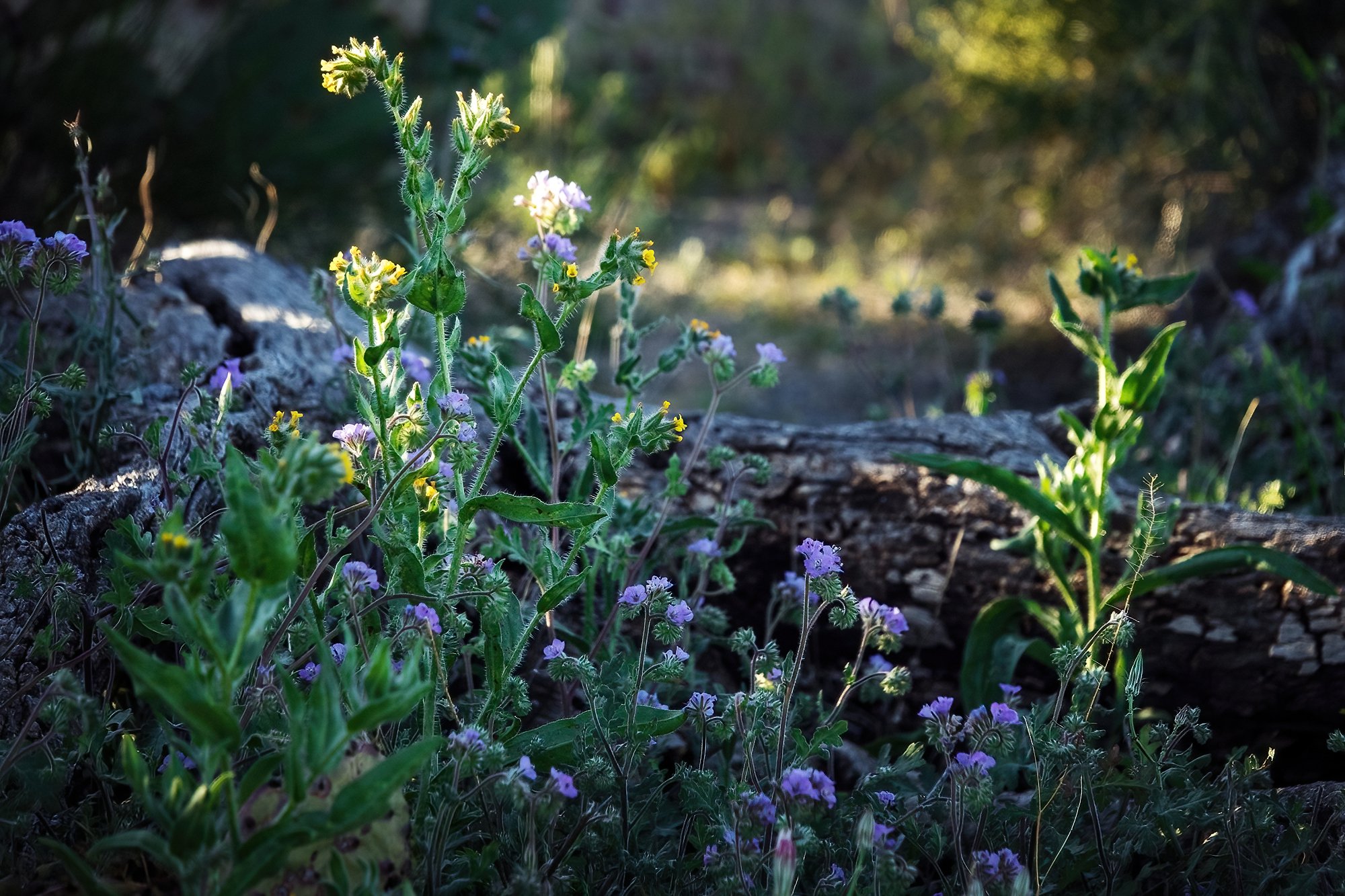
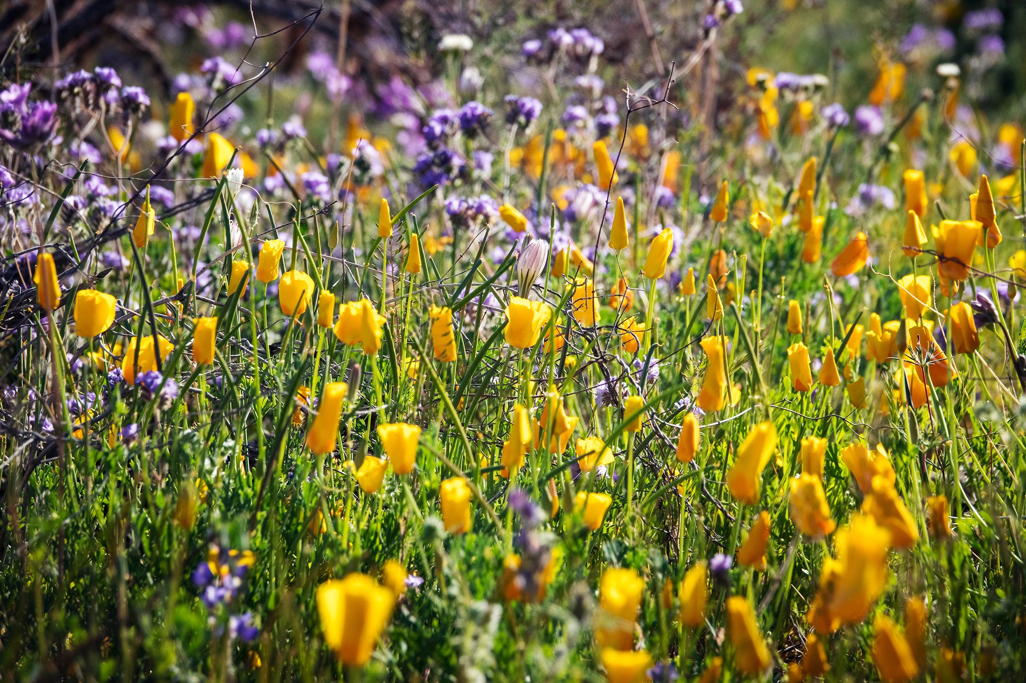
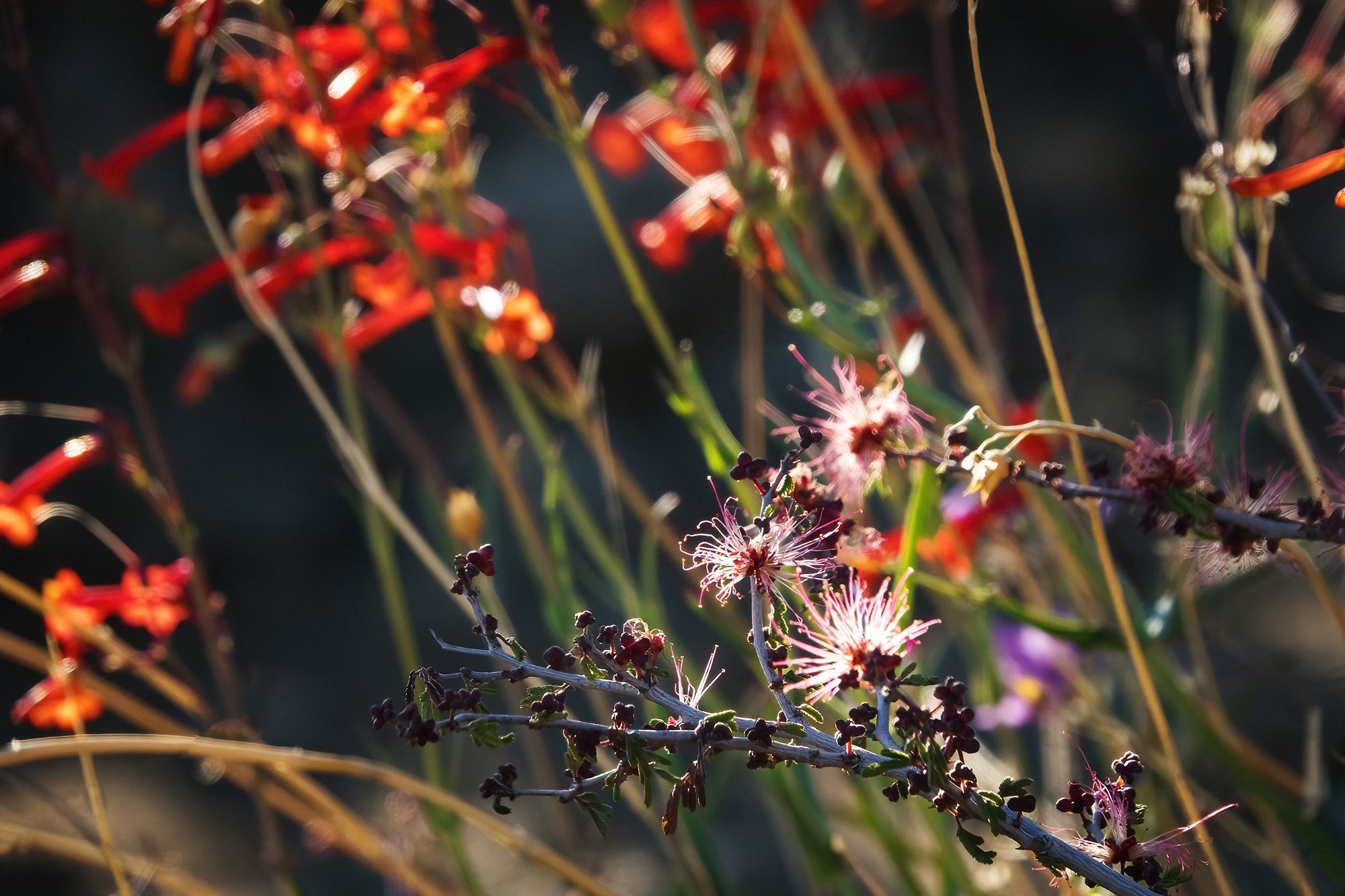
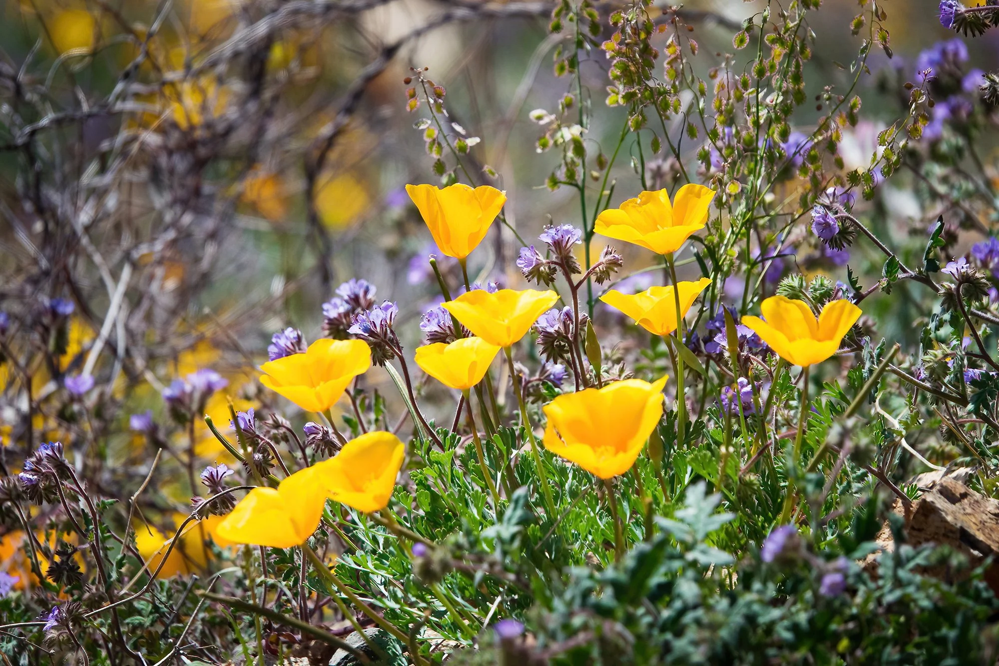
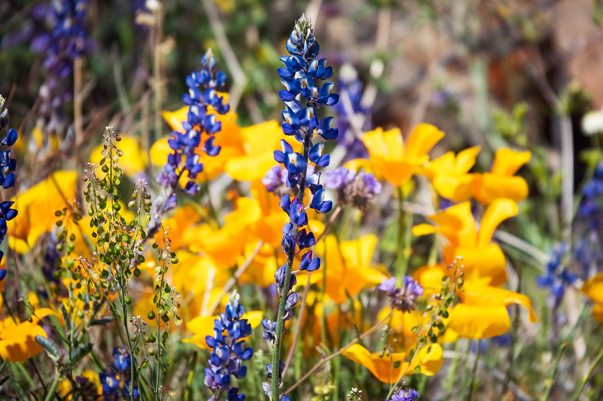
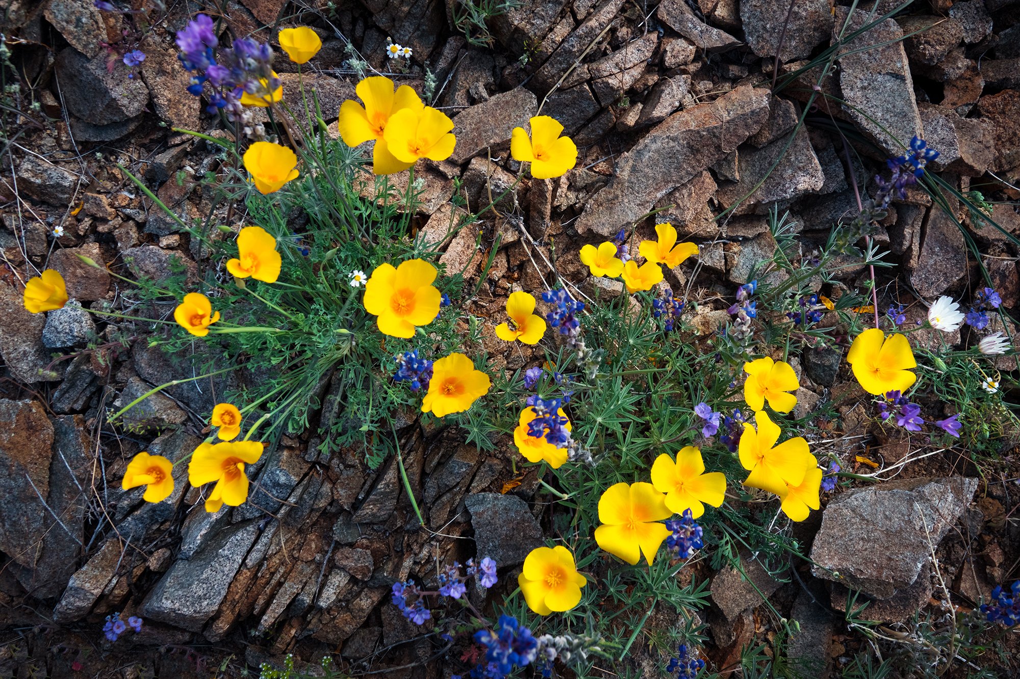
In the afternoon, after filling the car’s tank again and airing up the tires (one of which has sprung a pesky tire pressure warning since the cold of early morning), I make my way back west to County Road 7, and meander up the dirt road toward Mt. Sneffels. I stop again at the roadside pond, where the light has changed significantly since the morning (and the pond reflection has disappeared beneath a pesky breeze), but it is quite beautiful nonetheless. After admiring the scene and stopping to identify some of the local flora, I continue up the road. Just before the meadow overlook, I pause by the roadside to photograph some of the aspens on the hillside to my right (west), which are beautifully backlit in the afternoon sun. Then, it’s onward to the sunset spot.

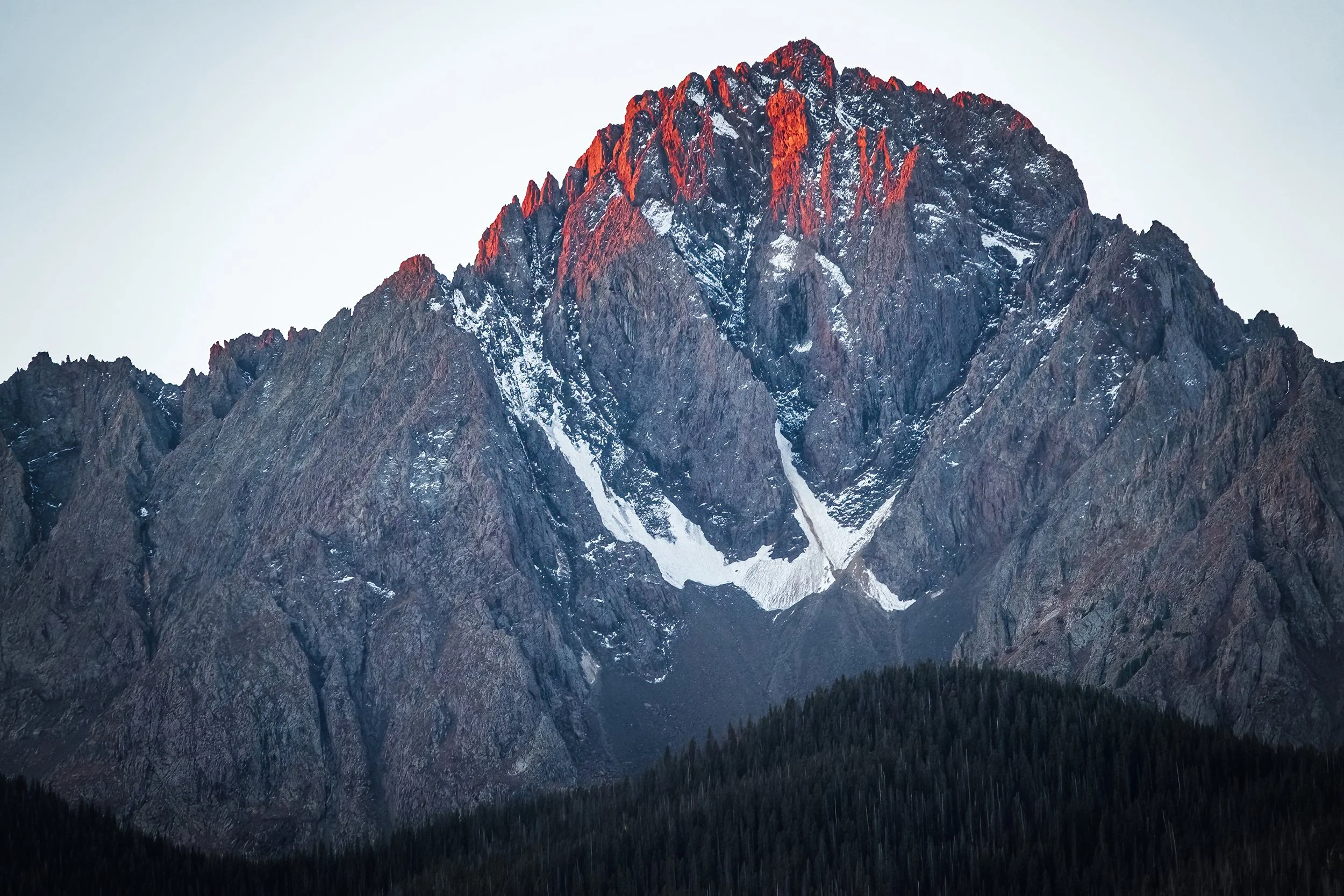
Unsurprisingly, I am joined by quite a few other vehicles (and their occupant photographers) in the road curve above the meadow. An(other) entire photography workshop follows shortly thereafter. Thankfully, everyone is quite gracious and jovial, and mindful of each other’s equipment as we pick our tripod spots above the meadow. After setting up my timelapse, I start by shooting various compositions of the nearby aspen trees with golden backlight, before moving on to the mountains and to other parts of the meadow. One of the workshoppers is kind enough to keep an eye on my tripod and my backpack, enabling me to jog a short distance further down the road, where the valley view opens up somewhat, and the amphitheater-like appearance of the mountain wall becomes much more apparent. I take some photos of this mountainous wall and its snowfields, along with a somewhat unhealthy number of panoramas, before returning to my tripod position to finish out the afternoon. I thank my elderly workshop neighbor for watching my stuff, and repay her by sharing some intel about the view further down the road; on my advice to focus more on the mountains and less on the meadow (which has already fallen into shadow by now), she relocates shortly thereafter. As the sun’s last light reaches the summit of Mt. Sneffels, I clamber back into the car, eager to get a headstart back downhill and back into Ridgway for dinner and an early night.


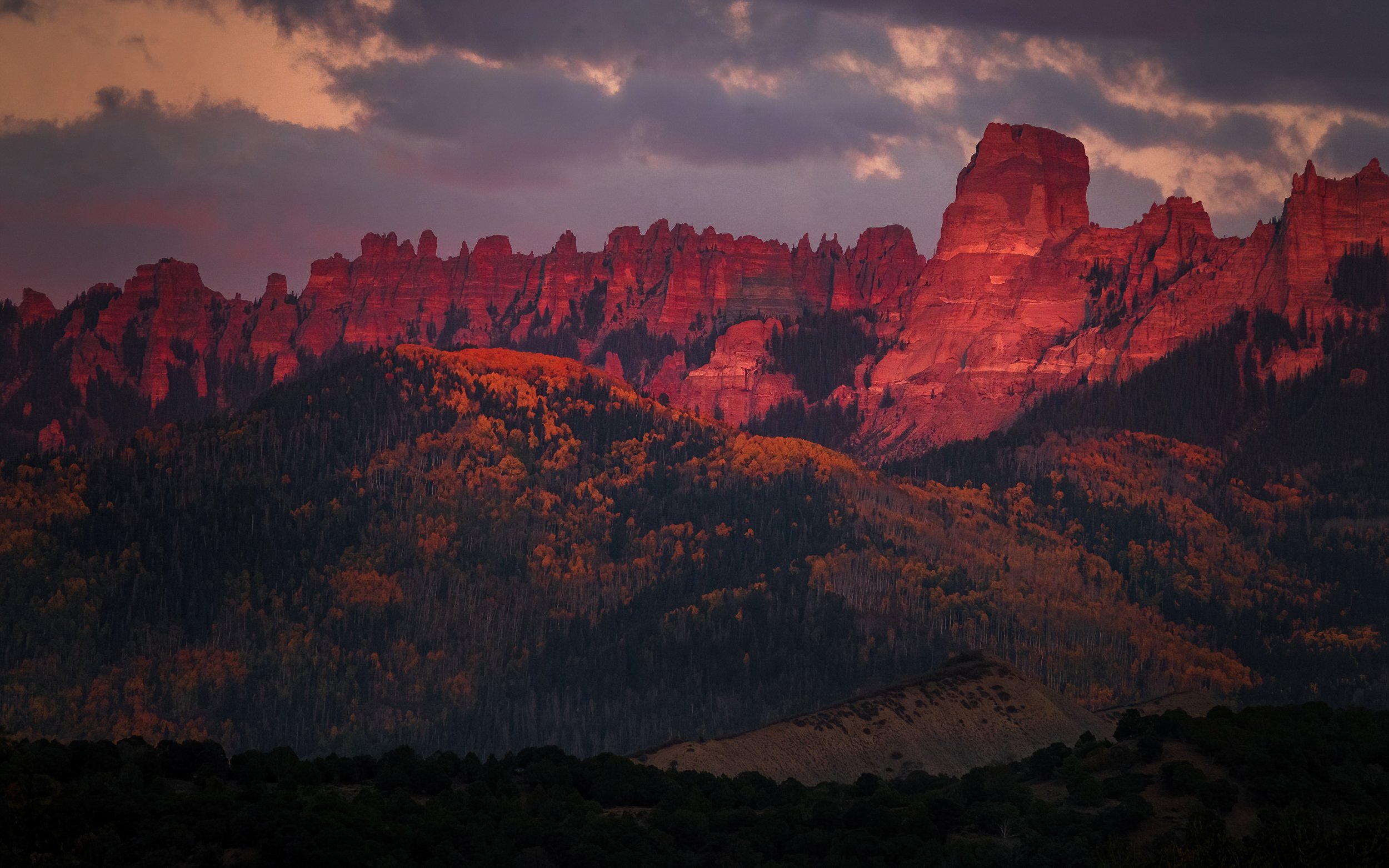
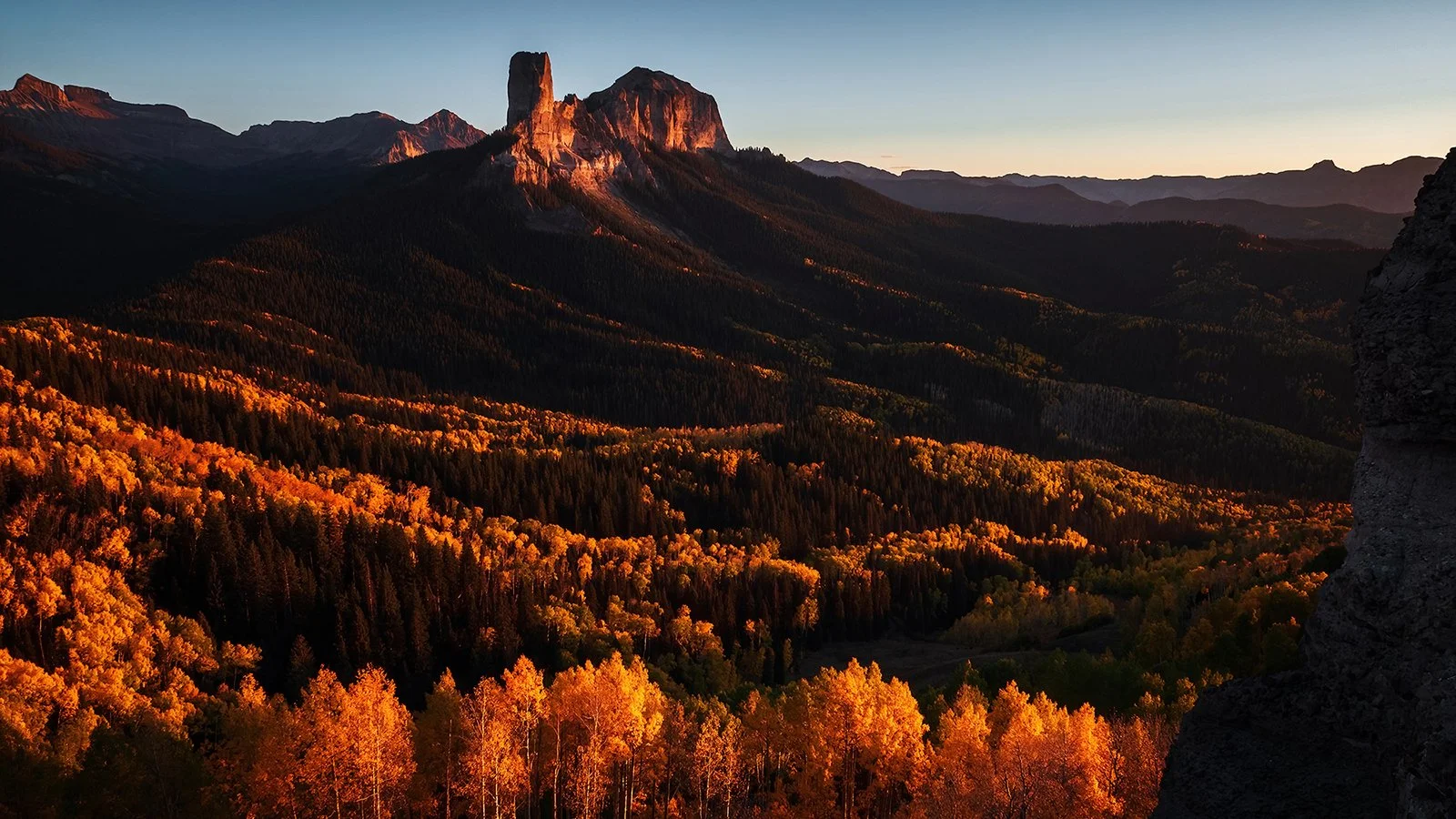
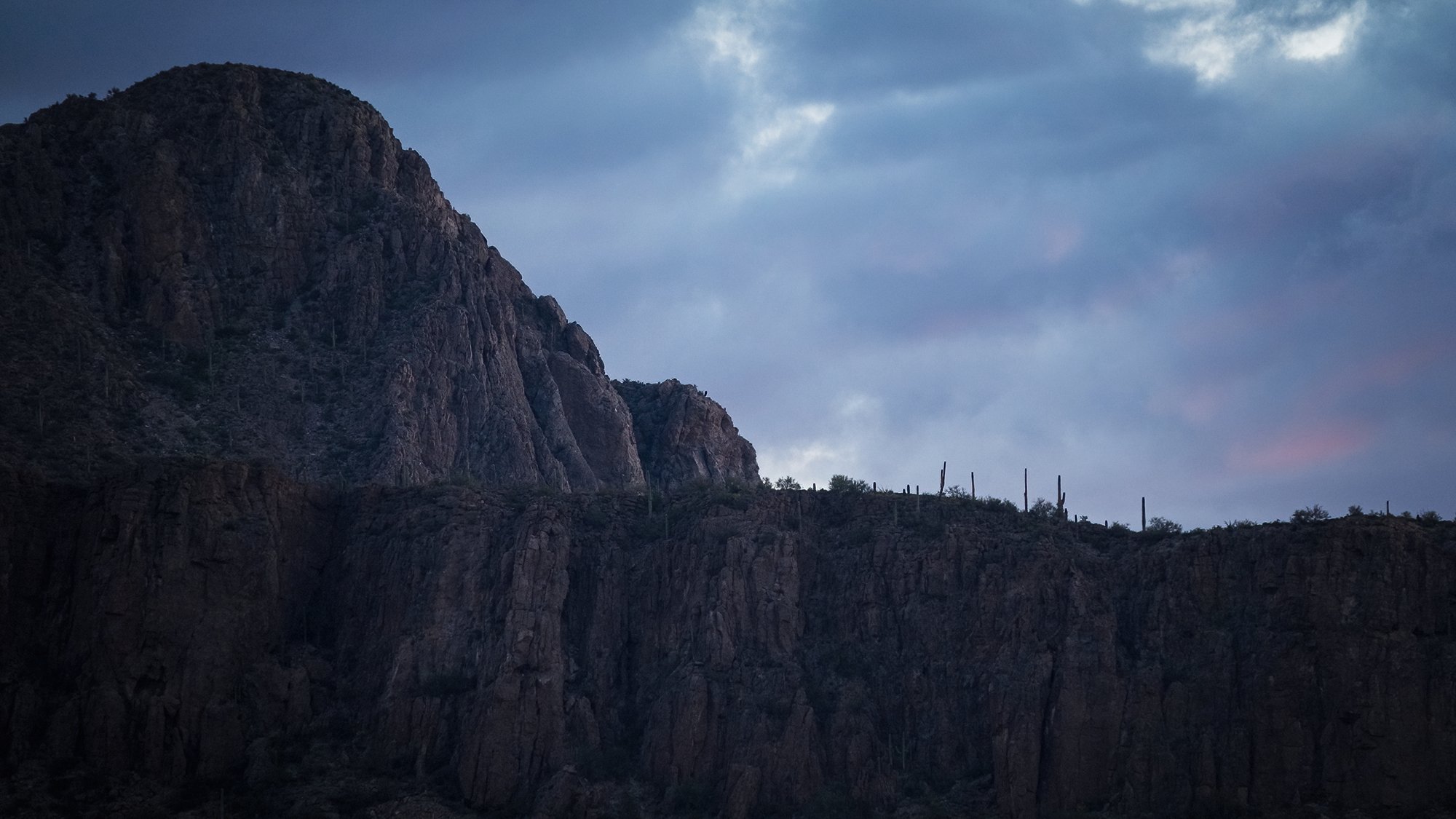
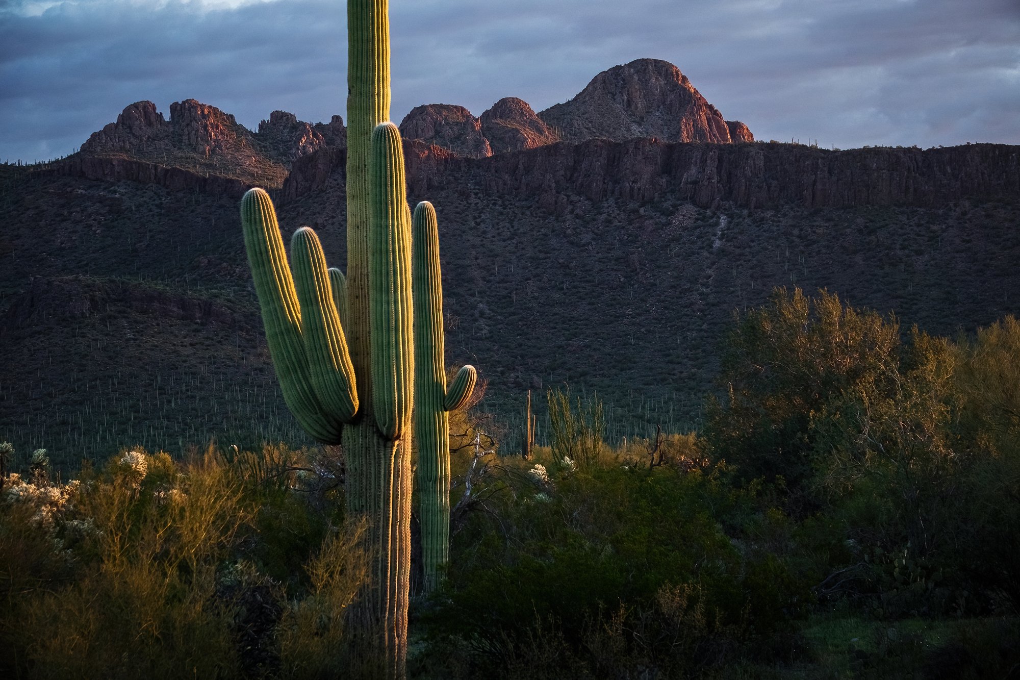
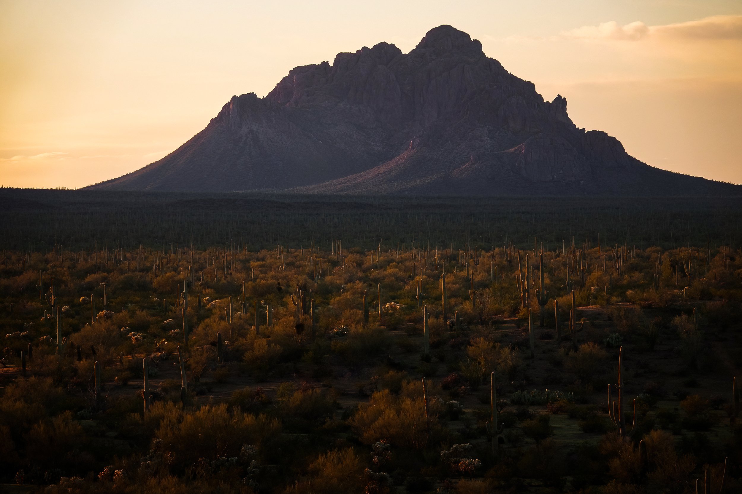
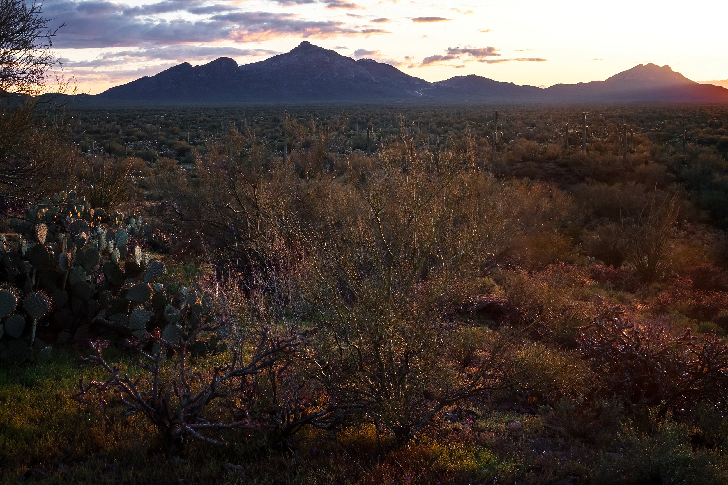
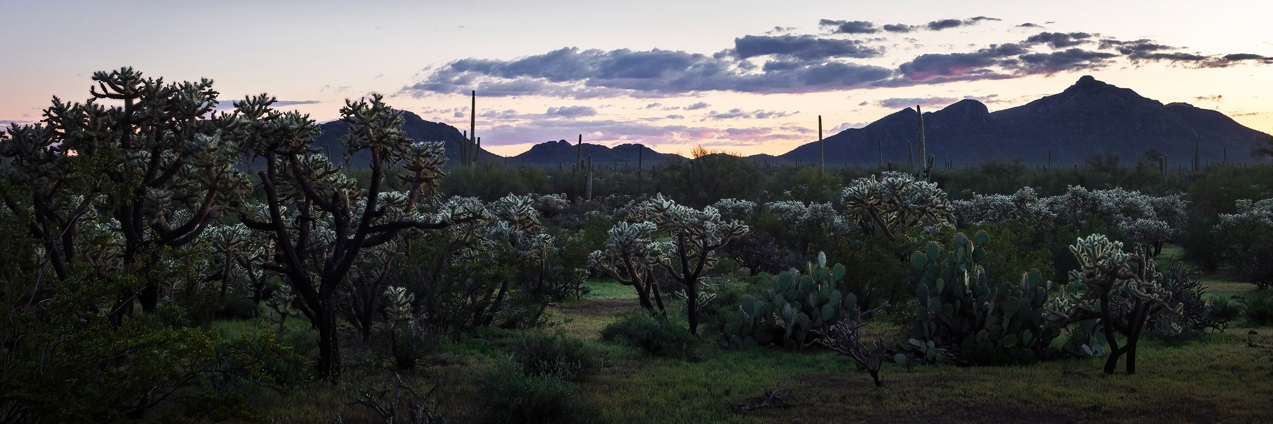
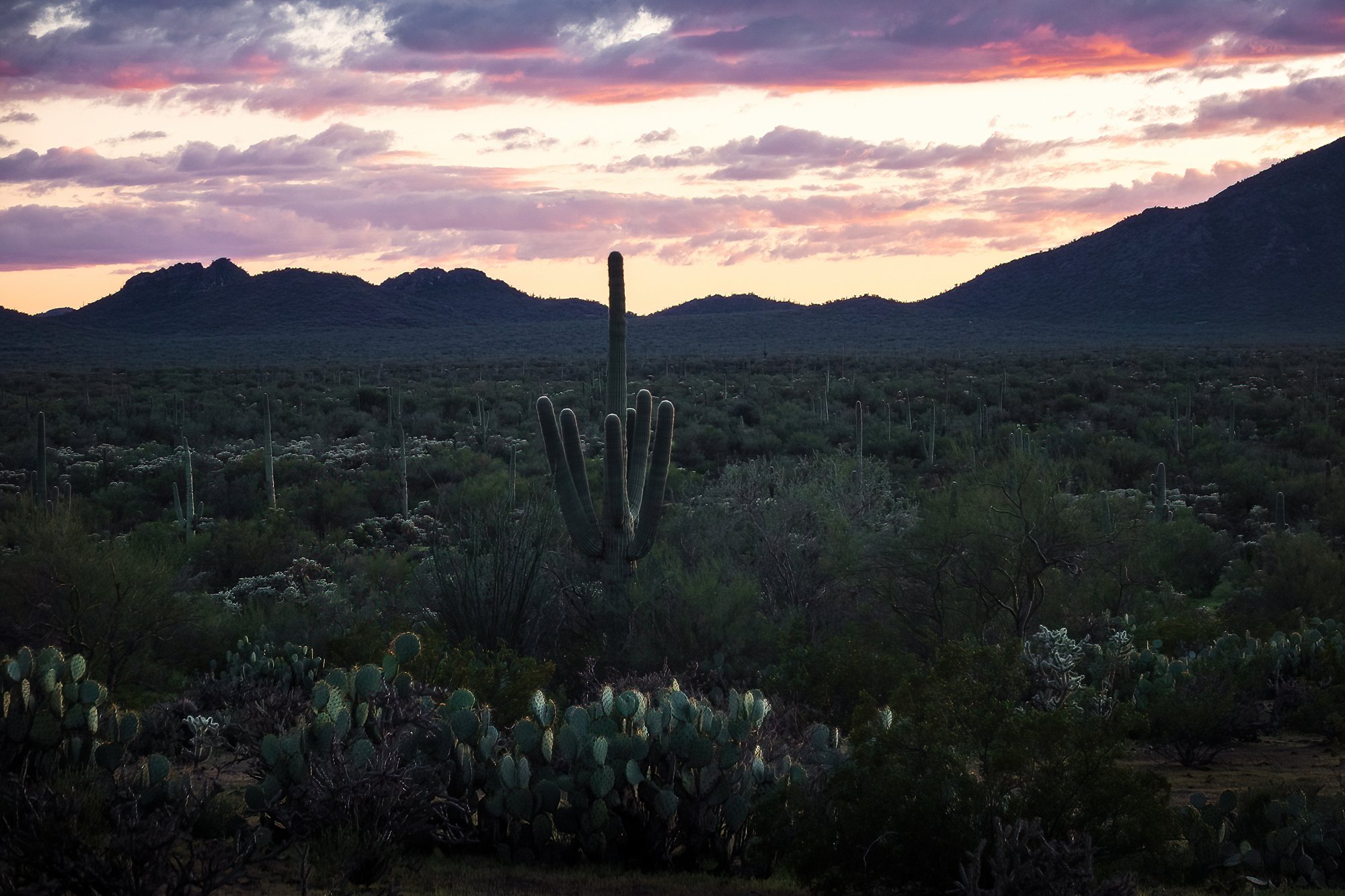
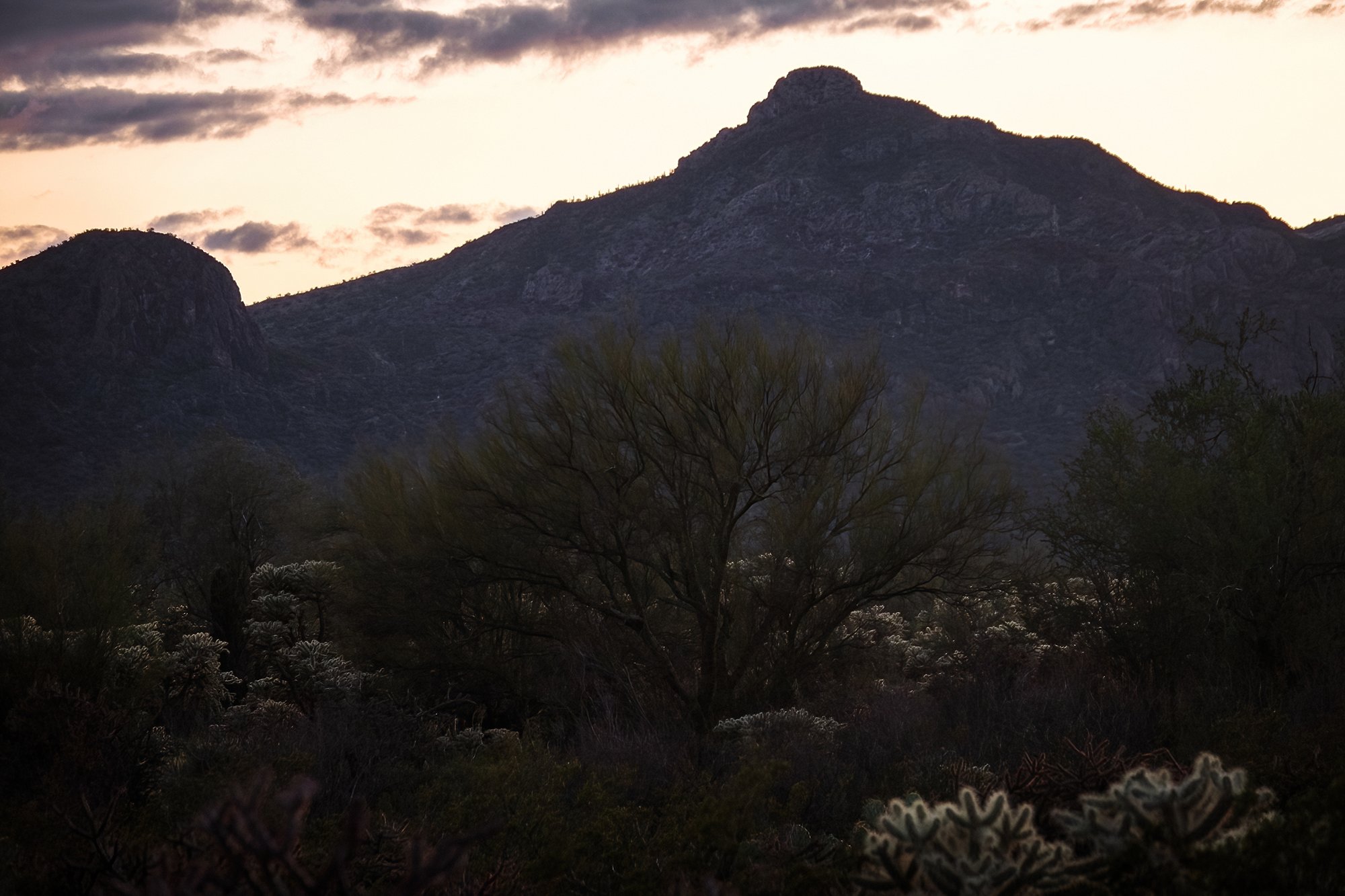
On Friday, my final day of exploring around Ridgway before heading home, I catch one last sunrise beside a field near the end of County Road 5, where I’m joined by a herd of grazing cattle (none too excited to be disturbed by us photographers, our cars, and our clackety-clack tripods). The view is fronted by a forest of aspens in the mid-ground (again, patchy in their yellow, green, and barren-white appearance after several nights of high wind) with Mt. Sneffels looming to the west, in the background. There are no workshop groups with me this morning - just one or two other photographers who work the scene and move on shortly after daybreak. After setting up my tripod, I too walk around, composing different shots with my long lens and the distant mountains. Overall, it’s yet another ho-hum sunrise (indeed, nothing I’ve seen all week has compared to the dramatic sunsets I saw earlier in Kebler Pass), but the air is fresh and it’s a treat to be outside and well away from all vestiges of my normal life; I’m fine with savoring it for just a little while longer. After dawn, I take my singular trip selfie against the fence above the field. Then, it’s back into town; on the way downhill, I briefly stop to shoot a long telephoto shot toward Owl Creek Pass and Courthouse Mountain, miles and miles above Ridgway in the distance. I make a mental note to try for a similar composition closer to sunset, when the rock wall to the town’s east will be lit by the setting sun.

Back in Ridgway, I pass most of the mid-day hours reading, resting, watching TV, and napping in my hotel room, happily enjoying my vacation (it’s my damn vacation!) now that the lion’s share of the landscape photographing and the being artistic and adventurous and creative-ing is done for the week. In the afternoon, I hop in the car and pop a few blocks to the west (past the single stoplight intersection in town) and leave the car parked at Hartwell Park, a delightful little green space where tall, old oaks grow above the town’s central square. After checking a few restaurants, I eat an early dinner at El Agave Azul (a delicious fajita platter and a big mug of ice-cold horchata) before taking a walk back down Sherman Street, to the road bridge that leads out of the town. Here, I set up my penultimate timelapse of the trip: a view of the Uncompahgre River as it curves its way out of town, with the buildings and cottonwoods of the nearby ranch in the mid-ground, and the eastern end of the Sneffels Range looming above in the back. Naturally, since it’s my final night in Colorado and I’ve decided not to leave town, this is also the first time in five days that there have been clouds in the sky at either golden hour. No matter, I say to myself. It is quite obvious to me that if I were to drive up into the mountains along one of the county roads, the clouds would surely vanish or become mispositioned, and I’d be photographing another sunset-mediocrity sandwich. Such is the luck, and the self-protective logic, of the jaded landscape photographer. I make do as best as I can, getting some lovely simple shots of the river and the distant mountains.

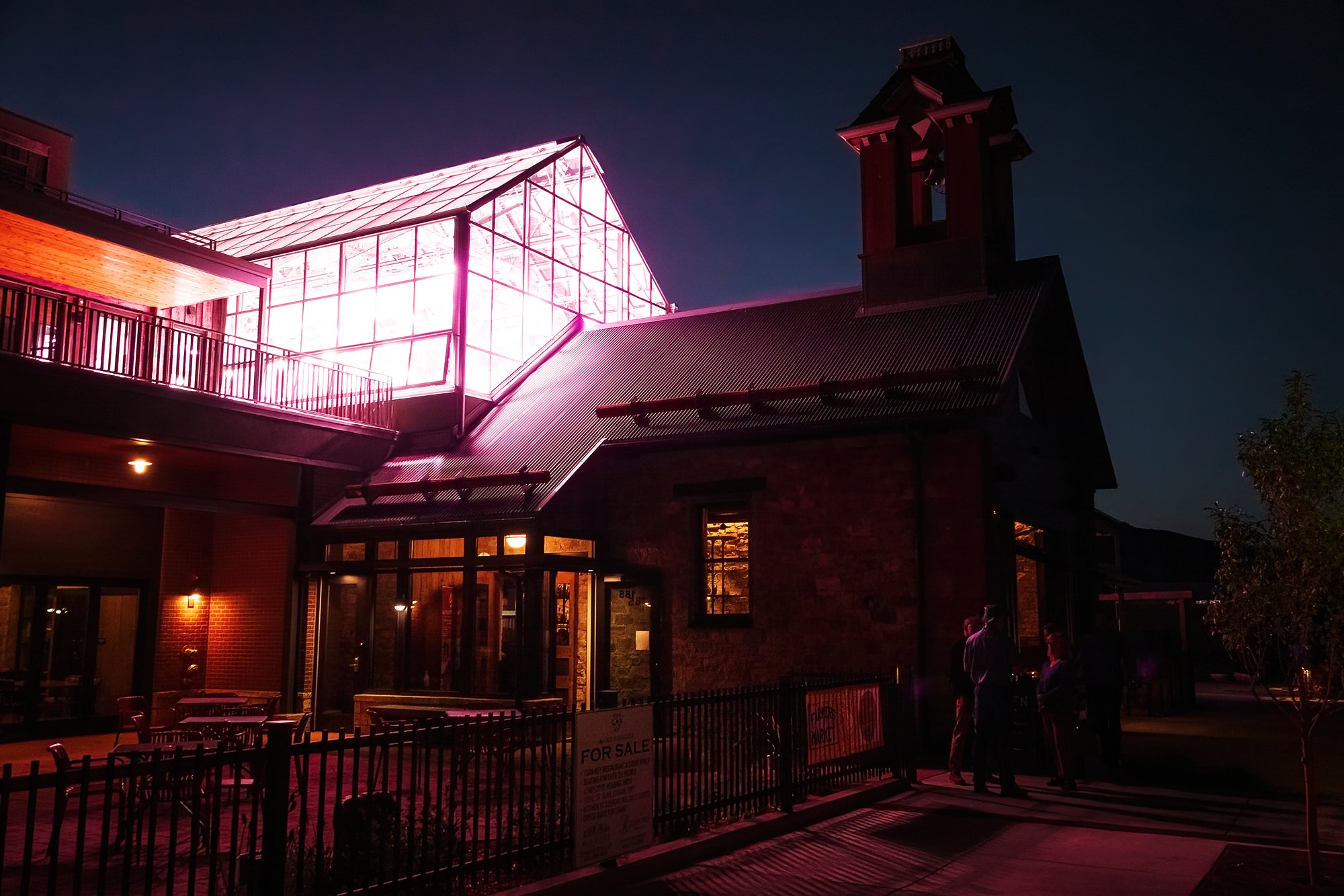
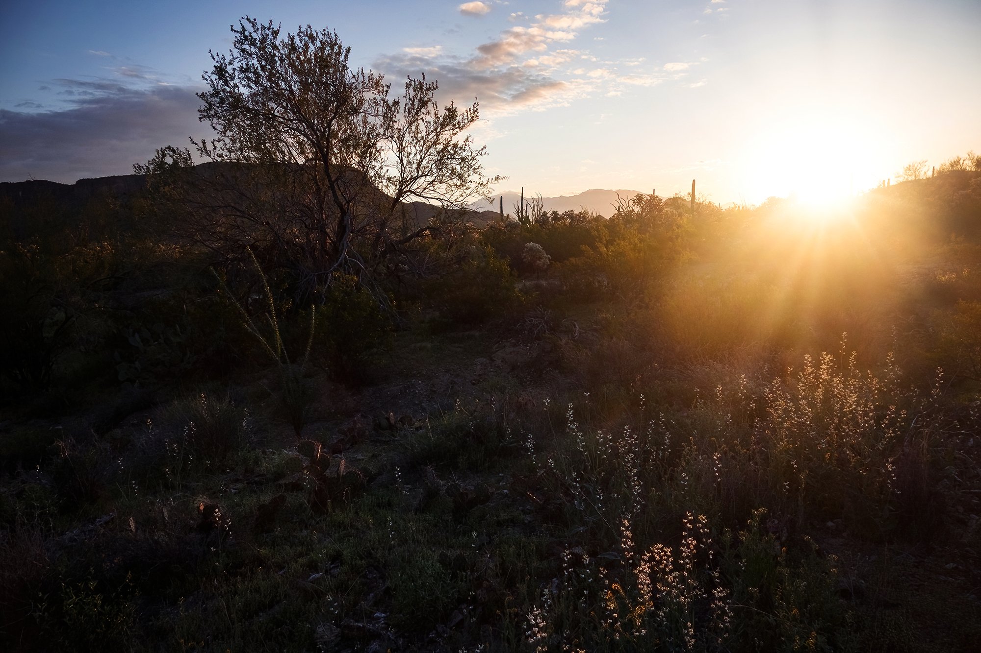
After taking a brief timelapse from the bridge, sensing an opportunity for a second shoot before sunset, I quickly jog back to the car and relocate up the road, to a quiet residential sidewalk on the west side of town, where I capture some footage looking eastward toward Owl Creek Pass and Courthouse Mountain as they catch the fiery rose colors of the day’s last light. As the sky grows dark and evening sets in, I make my back to Hartwell Park, wanting to spend a bit more time walking around Ridgway’s main strip at night. I take a few photos during my blue-hour meander around town, admiring the storefronts, the cozy-lit restaurants, and the Spanish faux-colonial architecture lit by string lights and street lights at dusk. It’s a cute place, and I’m glad I got to visit and see it in a fine mood and a good season. Then it’s back to the car (traipsing across the grass below the oaks in the park, which is now lit by tiny warm lanterns), and back across the highway intersection to the hotel for one final night.

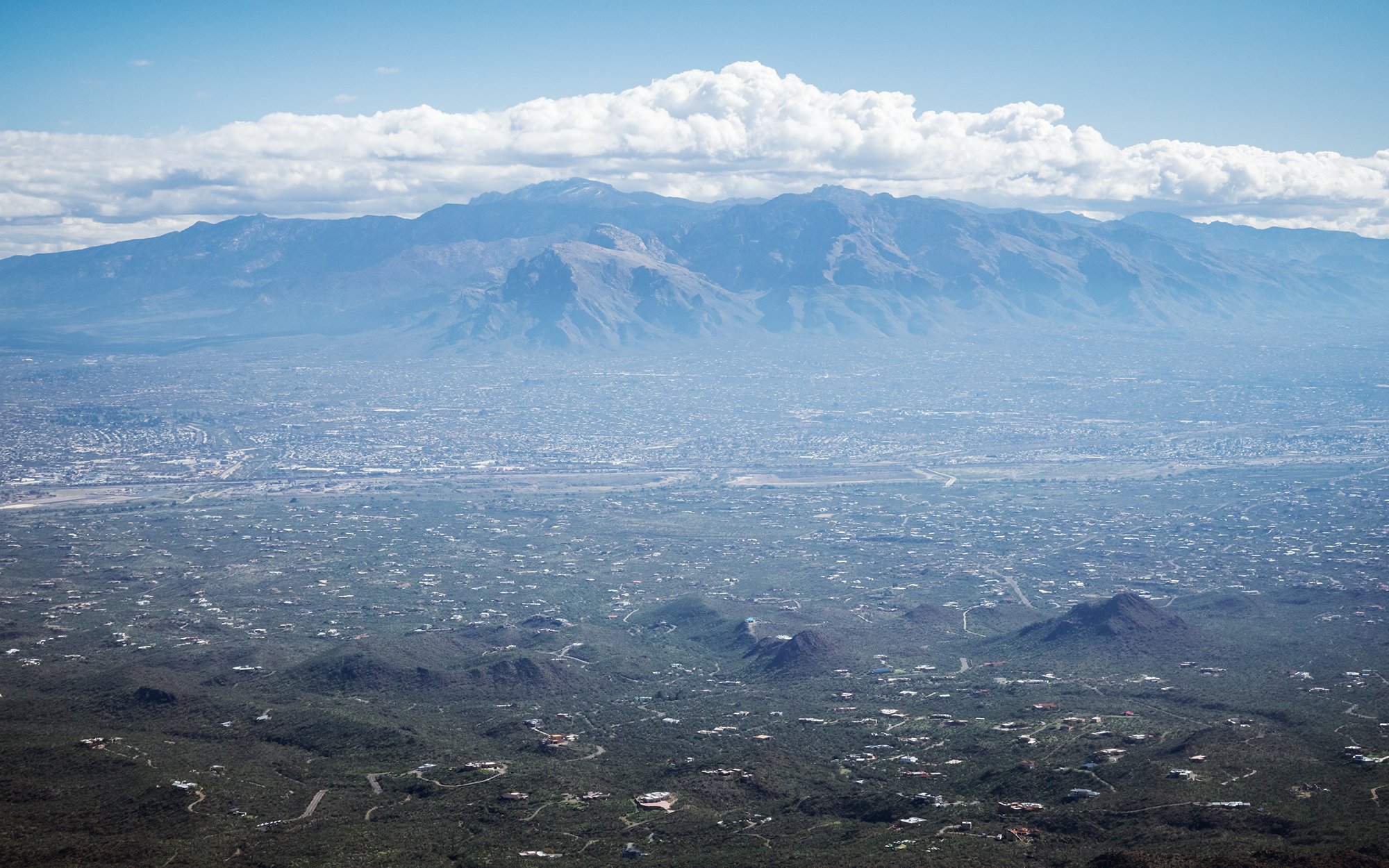
In the morning, after packing the car and leaving my keys at check-out, I make a breezy, fun drive (playlist blaring, cruising along and clocking in just under two hours) from Ridgway up to Grand Junction, where I’ll catch my return flight to Boston via Denver. Grand Junction’s main boulevard to the airport has hardly changed from what I remember over three years ago, when Jane and I flew out here and drove to meet Lindsey in Moab in April 2021. The nostalgia hits right down to the Denny’s where I grab brunch before my flight, which becomes suddenly familiar the moment I make the left turn over double-yellow lines and two lanes of traffic into its parking lot. Jane and I made the same turn into this parking lot in 2021, but we ultimately had to skip out of the sit-down meal due to a long wait (unacceptably long, amidst the COVID-cautious state of the world at that time), and we ultimately went through a Wendy’s drive-thru and ate in a parking lot just down the road instead. After a long layover in Denver (featuring not one, but two Jamba Juice smoothies - once again, it’s my damn vacation), I’m return home to Boston late Saturday night, with my longest solo photography trip (well… at least, as a semi-professional adult) under my belt.

September 28 - October 5, 2024

Timelapses from a beautiful week of fastpacking and solo fall photography on Colorado's Western Slope.

Music:
"Visions" - Anna Dager

Marana: Hope and Beauty in the Desert

It’s been nearly two years since Jane and I took a road trip around the Four Corners region, and nearly three years since our weeklong sojourn in Moab - a long time since I last photographed the austere beauty of the American Southwest. This time, it’s just me, on the road alone in the half-week leading up to attending a professional conference (the AAHPM Annual Assembly) in Arizona. I decide to use these few days to explore a region that had honestly only been faintly on my radar before: the Sonoran Desert around Tucson and Greater Phoenix. The conference organizers have thoughtfully timed the week to coincide with the height of perfect spring weather in the region - clear, blue days that bring fine walking temperatures and carpets of wildflower blooms. For the second month in a row, Jane compassionately shoulders caring for Jordan (and the household) so that I can go off to explore, photograph, and rejuvenate in the desert.

After a busy service week, I oversleep my alarm and nearly (but don’t!) miss my early morning flight. It’s a five-hour trip to the desert megalopolis of Phoenix, during which I watch a movie and read from a book on fiction writing. In short order, I’m leaving the Phoenix airport’s massive rental car complex, heading south on I-10 toward Tucson. Although it’s mid-day on a Saturday, the highway is busy with spring break holiday-goers weaving in and out of shipping traffic. Unsurprisingly, there is a pretty significant backup just south of Phoenix due to a gnarly crash, but fifteen minutes later I am on my way again, bound for the Tucson exurb of Marana, where I’ll be staying for two nights.

Relatively fresh off my trip down the Oregon Coast, it still feels comfortable traveling on my own, and my spirits are buoyed by the lovely, sunny weather and the beauty of the stark desert landscape. My driving jams have been retooled for this trip; gone is the acoustic, melodic soundtrack of New England’s hardwood forests or Oregon’s moody raincoast, and in their place are crunchy guitars, reverb, and atmospheric tracks more fitting for the desert. In the early afternoon, I arrive in Marana and, famished (it’s dinnertime already in Boston), I eat way too much at the local In ‘N Out before stopping into the Walmart next door to buy a gallon of drinking water (a safety precaution for the desert) and a few bottles of orange juice to keep me happy. Then, it’s across the street to my motel for an early check-in and a brief nap to wait out the mid-day sun.

In the late afternoon, I drive out of town and head west along Picture Rocks Road, which climbs from the valley floor and over a pass at the base of the Tucson Mountains. Entering Saguaro National Park’s western unit, I am greeted by a dazzling vista that stretches out across the plains to the west. The roadside is spangled with beds of lupines, fairy dusters, and jewel-flowers, which serve as a stunning color complement to the area’s pale sandstone cliffs and cactus forests. Turning south, I drive a few miles down Sandario Road to the park’s main road loop, first stopping at the visitor center to purchase a pass and a trip magnet. After photographing some of the wildflowers in the desert garden outside, Thinking that the Signal Hill parking area is closed for construction, I return to Sandario Road and leave my car at the intersection with Manville Road, opting to take a slightly longer sunset hike toward Signal Hill.

The dirt path initially parallels the road, winding through stands of verdant, many-tendriled ocotillo plants and gigantic saguaro cacti before turning up a sandy wash. I meander along the wash for the next half-mile, stopping often to the photograph the flora of the desert: globemallows and fiddlenecks flowering in the shade of creosote bushes; and beautiful branching palo verde trees with their smooth, verdant bark. As I near Signal Hill, it becomes rather obvious (from the visible clumps of tourists atop the rock pile) that the nearby parking lot remains quite open, but I am quite glad to have had the solitude of my little walk in the arroyo.

At the top of the hill, I set up my tripod and scout around for compositions including the nearby petroglyphs (backed by the Red Hills, lit by sunset light); wide-angle shots including petroglyphs, wildflowers, and distant mountains; and telephoto compositions compressing the saguaro forest, desert roads receding into the horizon, and the Silverbell Mountains. I am joined throughout the golden hour by a variety of tourists and photographers - hobbyists shooting with professional telelenses and smartphones alike. It’s a fun, judgment-free atmosphere (except for one guy who climbs over a barrier and practically stands on the petroglyphs, whom I scold); we trade compositions, share travel stories, and marvel at the fine weather and the even finer sunset. As I lean against the guardrail waiting for dusk, I feel the fatigue of the travel day evaporating off my body under the warm embrace of the sunset. After the light disappears, I descend the hill and jog back to the highway along the arroyo; then, it’s back to Marana for dinner (takeout from Chipotle) and a night of reading, writing, and resting up.


The next morning, jetlag once again has me up before dawn; I get dressed for a morning of desert hiking and eat a quick motel breakfast before getting in the car. My objective for the morning is the summit of Wasson Peak, at the heart of the Tucson Mountains: a nontechnical but unrelenting climb from the desert floor along the Sendero Esperanza. Driving back west along Picture Rocks Road, I am unable to resist pulling off roadside to meander into the cactus gardens. I photograph the first light of sunrise hitting the nearby clifftops, as well as the nearby beds of wildflowers backlit by the morning sun. Back on the road, I re-enter the national park boundary and navigate along the Bajada Loop, a dirt-and-gravel drive that circles the northern part of the park, eventually making my way to the trailhead for the Sendero Esperanza (“Trail of Hope”). Here, I don my sun protection, take a big swig of water, and set off along the trail. There is no one else around at this early hour of the morning.

The trail heads southwest toward the bulk of the Tucson Mountains, initially climbing very gradually, almost imperceptibly. Despite this, I’m initially moving at a snail’s pace, distracted as I am by the beauty around me. I find myself stopping constantly to take in the scenery, and to shoot macros of the lush wildflower beds that lie nestled at the base of the cacti. Along with flowers such as the ubiquitous bristly fiddlenecks, spreading woolystars, Coulter’s lupines, and fiesta flowers, I see fruiting barrel cacti, prickly pears, and ocotillos (“little torches”) beginning to flower, the slender red petals erupting from their tips like flames. The desert is serene; there is a cool morning breeze lingering in the air, and almost no sounds save for my footsteps and the fluttering of an occasional startled cactus wren.

Further along, the path begins to zigzag up the mountainside; the elevation brings with it new varieties of flora, including carpets of desert poppies, marigolds, and dandelions, and stands of zinnias and beardtongues. Turning back to gaze down the valley floor, I try my best to photograph the landscape together with a foreground of beautiful orange-and-gold flowers; it’s a tricky compositional challenge, what with the chaotic tangle of ocotillo arms and palo verde branches in the midground. Trying to keep in mind my time constraints (due to the heat of the mid-day desert, I’ve resolved to stick to a turnaround time of 9:30 AM), I stop photographing, stuff my outer layer into my backpack and press onward with the climb.

Many switchbacks later, having gained the ridgeline, I take a water break at the trail’s intersection with the Hugh Norris Trail. It’s 8:30 AM (I’ve done a pitiful 1.7 miles in one hour - and the easiest stretch of the walk, at that), but not to be dissuaded, I decide to make the left turn toward Amole and Wasson Peaks, to see how far I can get before my turnaround time. This turns out to be a marvelous decision; even though the soaring sun makes both photography and mountain walking less and less appealing, the ridge walk along the mountains is painted in an absolute profusion of wildflowers. Having gotten my fill of macro shots, I keep my camera down and forge forward, covering nearly 2.5 miles in the next hour. After a steep series of switchbacks, I reach the top of Wasson Peak at exactly 9:30.

After taking a brief break and signing the summit register, I retrace my steps, essentially trail-running my way back to the car with some intermittent breaks for photographing the scenery and the flowers. I am wearing my relatively brand-new trail runners (my first time hiking in anything except for cheap boots), and it feels absolutely glorious to go soaring back down the ridgeline, with breathtaking panoramic views and colorful wildflowers accompanying every step. I must make quite the impression (awkwardly glissading down the mountain with my full photography backpack, including attached tripod and camera-in-hand), as quite a few walkers comment as I pass: “Oh, to have your limbs!” Oh, my limbs will certainly regret this later. “In a rush for lunch?“ Yes, very. “Is there a bear behind you?” There are no bears in the Sonoran Desert, but despite this I cover the return 4 miles in an hour, arriving back at the trailhead well earlier than intended. Back in the car, I rehydrate and make the return drive to Marana, where I get another takeout lunch (a Panda Express with a drive-through; seriously, who the hell designed this gargantuan shopping plaza and why does it have all my favorites?) before retiring to the motel to shower and nap.

After a long break and pretty deep sleep in the afternoon, I head back out to catch sunset. My destination for the evening is on the outskirts of the Ironwood Forest National Monument, a massive wilderness area northwest of Marana, encompassing the Silverbell Mountains and the surrounding foothills and desert plains. Instead of going along the interstate, I choose to take a series of desert backroads to reach Avra Valley Road, the highway that runs westward into monument grounds. A few miles to the west, I pull off Avra Valley Road onto a dirt track; here, I leave the car and set off on foot toward a knoll to the north, from where I hope to gain panoramic views of the mountain ranges to the west, and the hallmark silhouette of Ragged Top to the northwest. Picking my way carefully through stands of saguaro, cholla, and desert ironwood trees, I am cognizant of just how lonely this place is; the nearest housing communities may be just a few miles to the east, but that represents an enormous distance out here, where one wrong step into a cactus or one turn of the ankle could prove to be genuinely problematic.

Turning toward the knoll, I cross a little gully and find an open hillside from which to watch the sunset. Sitting down on a large stone between two palo verdes, I take wide shots of the nearby trees and lupines, and telephoto compositions of the distant mountains and plains; the sidelit saguaros cast lovely, long shadows in the late afternoon night. Surprisingly, I have cell service at this particular spot, so I send Jane a quick video of the sunset - both to share, and to let her know I am doing okay out here in the middle of nowhere. As the sun falls below the horizon, I keep working my handful of compositions (eschewing the tripod completely) until it’s nearly dark. Then it’s back (carefully back, weaving between cacti in the growing dark) to the car. Along the way, I hear a loud, rumbling sound that is unmistakeably the growl of a large animal, and my heart skips a few beats before I remember that a mountain lion would be quite unlikely to announce its intentions so loudly. Instead, around the corner I come face to face with a grazing steer, who thankfully decides to leave me alone, turning tail and bounding off into the brush. Back in the car, I maneuver over a dirt ditch and back onto the highway, making the long drive back to town. The desert roads are pitch-black and desolate but for the high beams of distant cars; they move as if they are comets in the inky darkness of cosmic night.