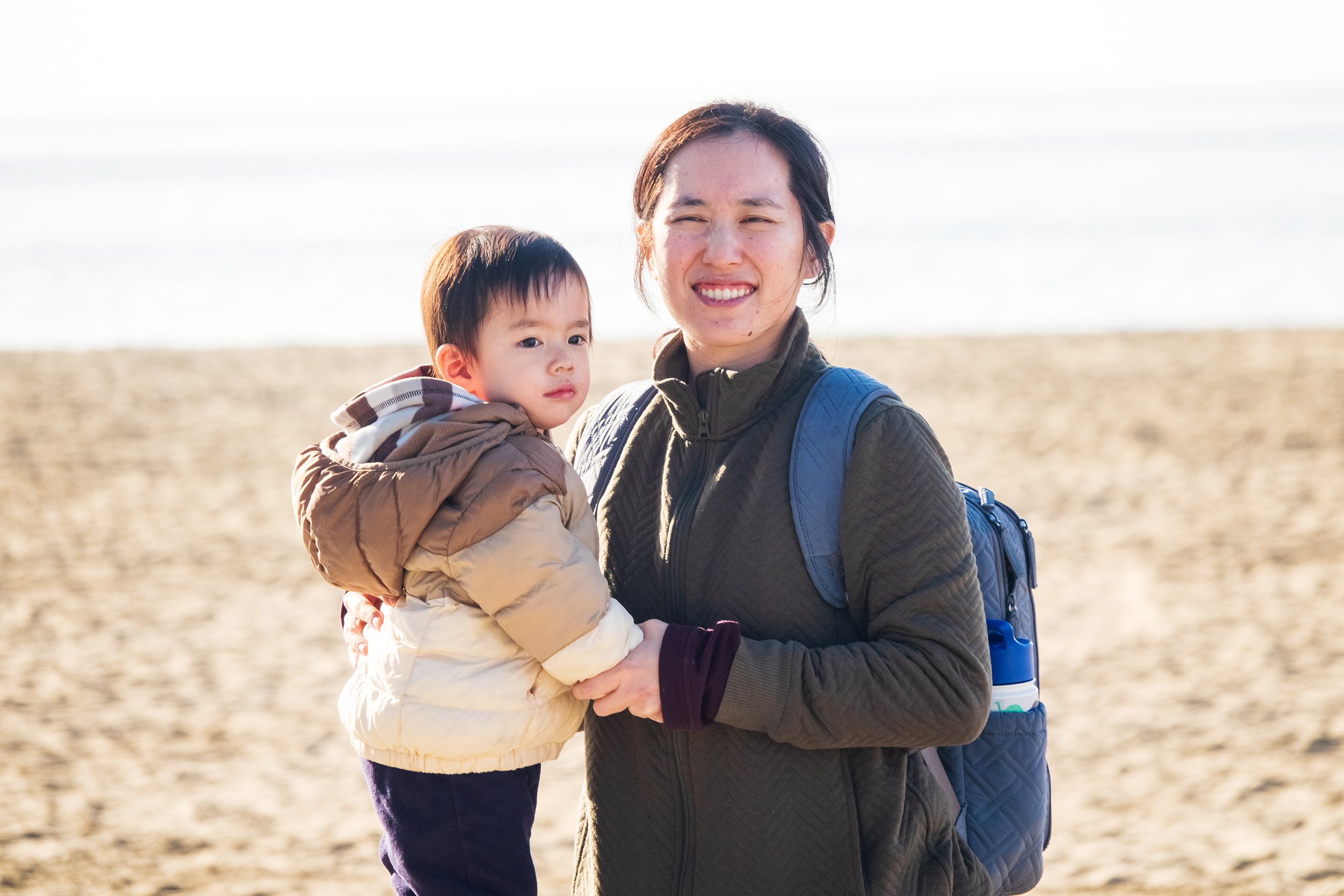
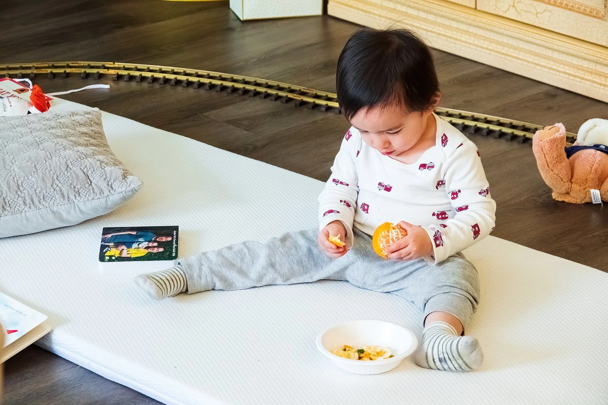
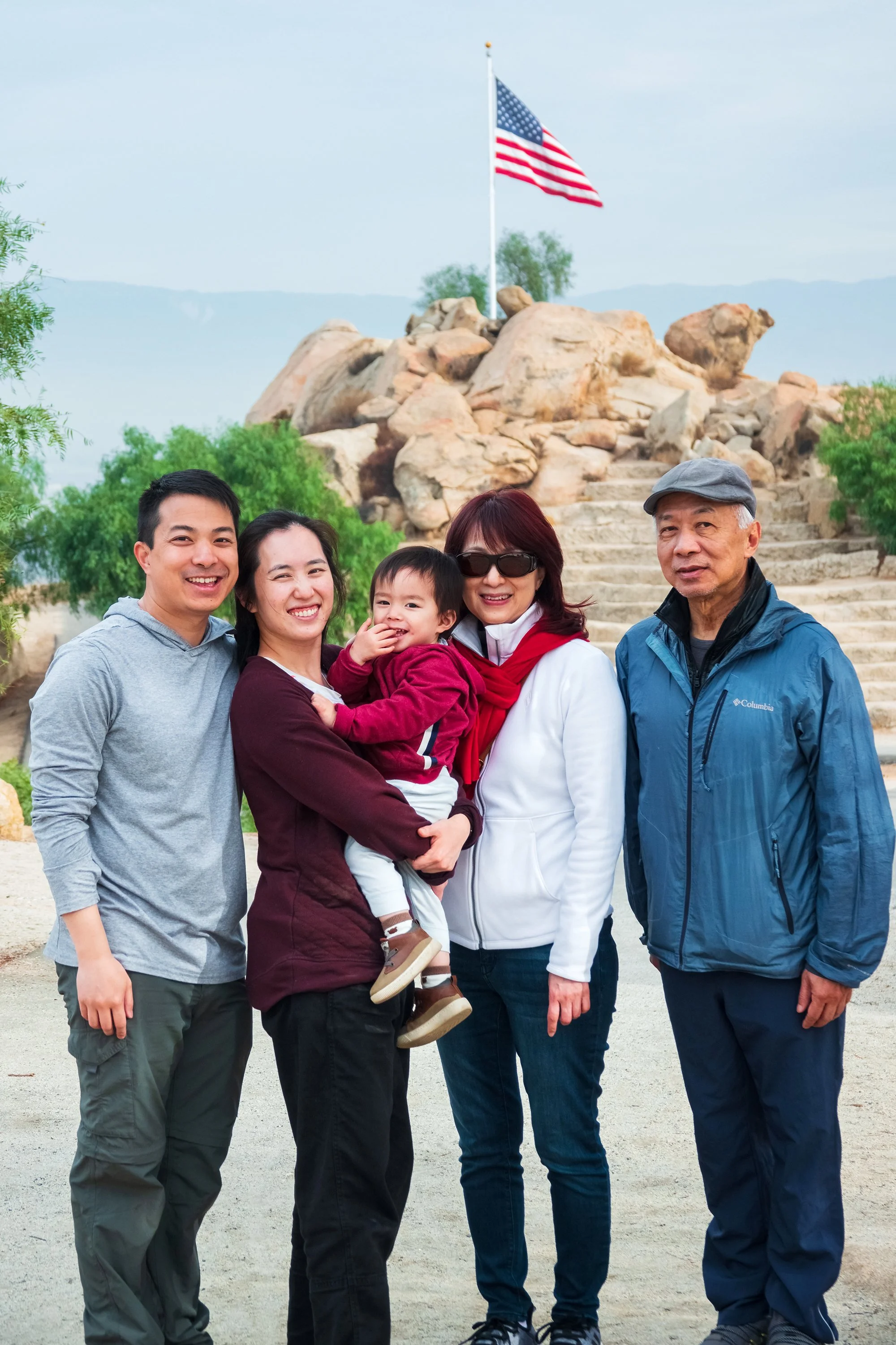
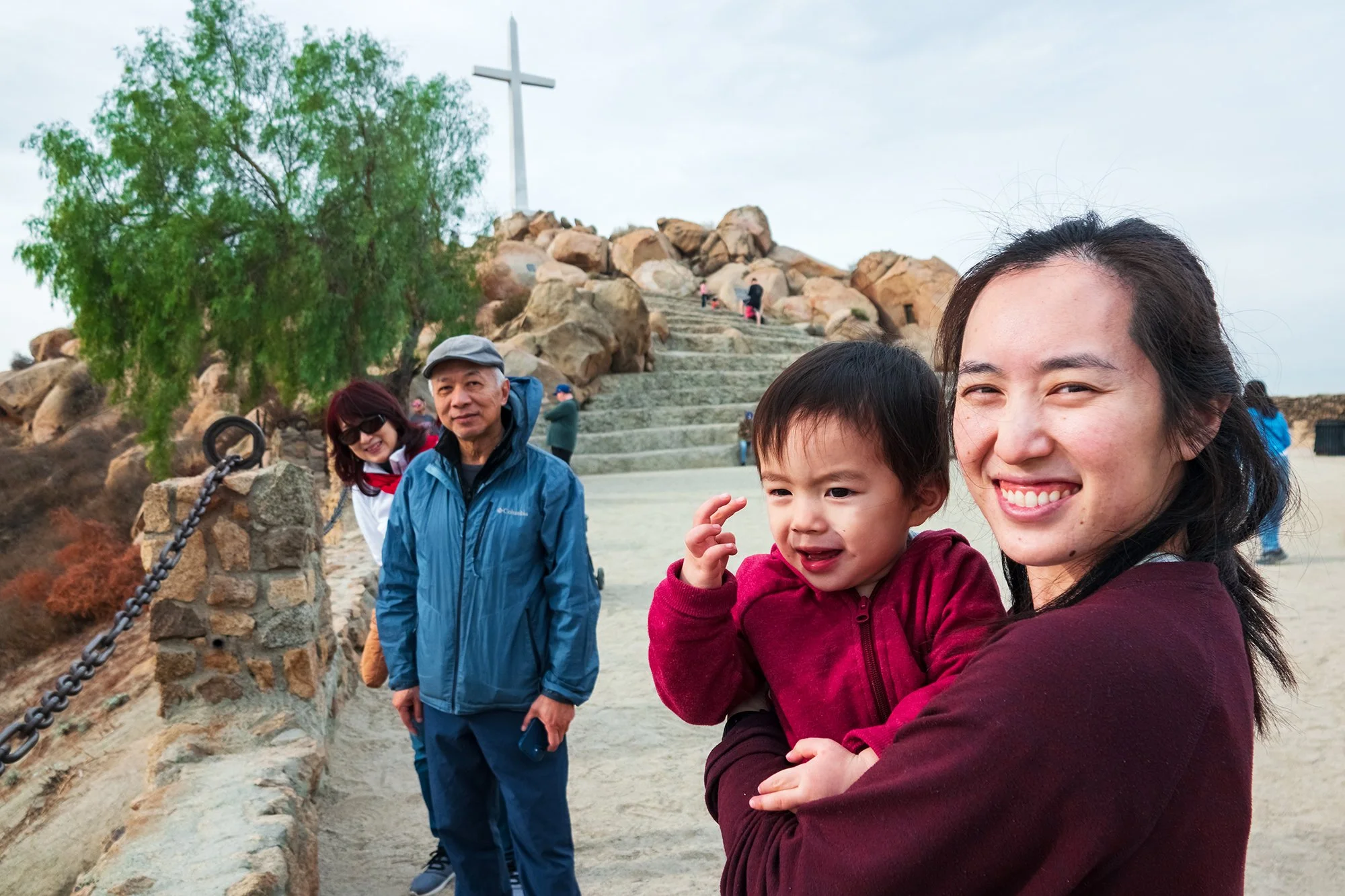
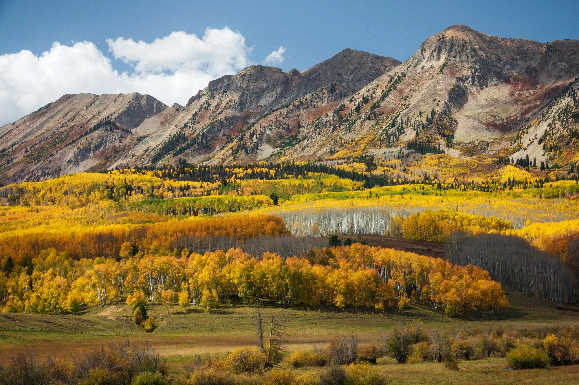
In mid-December, we set out on a chilly Saturday afternoon for Jordan’s first cross-country trip to see his grandparents and relatives in Southern California: a two-week stay, exactingly divided between Jane’s family, still located in Orange County, and my family, now located in the Inland Empire. After a relaxed night of exploring Boston Logan airport, lounging around overnight at the adjacent Hilton, and ordering BBQ takeout from East Boston, Jordan troops through his first transcontinental flight - a beastly 7 hours on the plane, all told, in the winter months. He somehow gets through it with a combination of fruit snacks, complimentary airplane breakfast trays, and several hours of screen-time: the sleepytime moon-and-stars on the plane screen, plus cartoons uploaded to our iPad. He does not sleep. We land, and after waiting for all the other passengers to depart, I lug our two suitcases, two backpacks, and travel crib off the plane while Jane puts Jordan back into the stroller on the jet-bridge. We emerge into the odd haze and bright sunlight of December in Los Angeles.
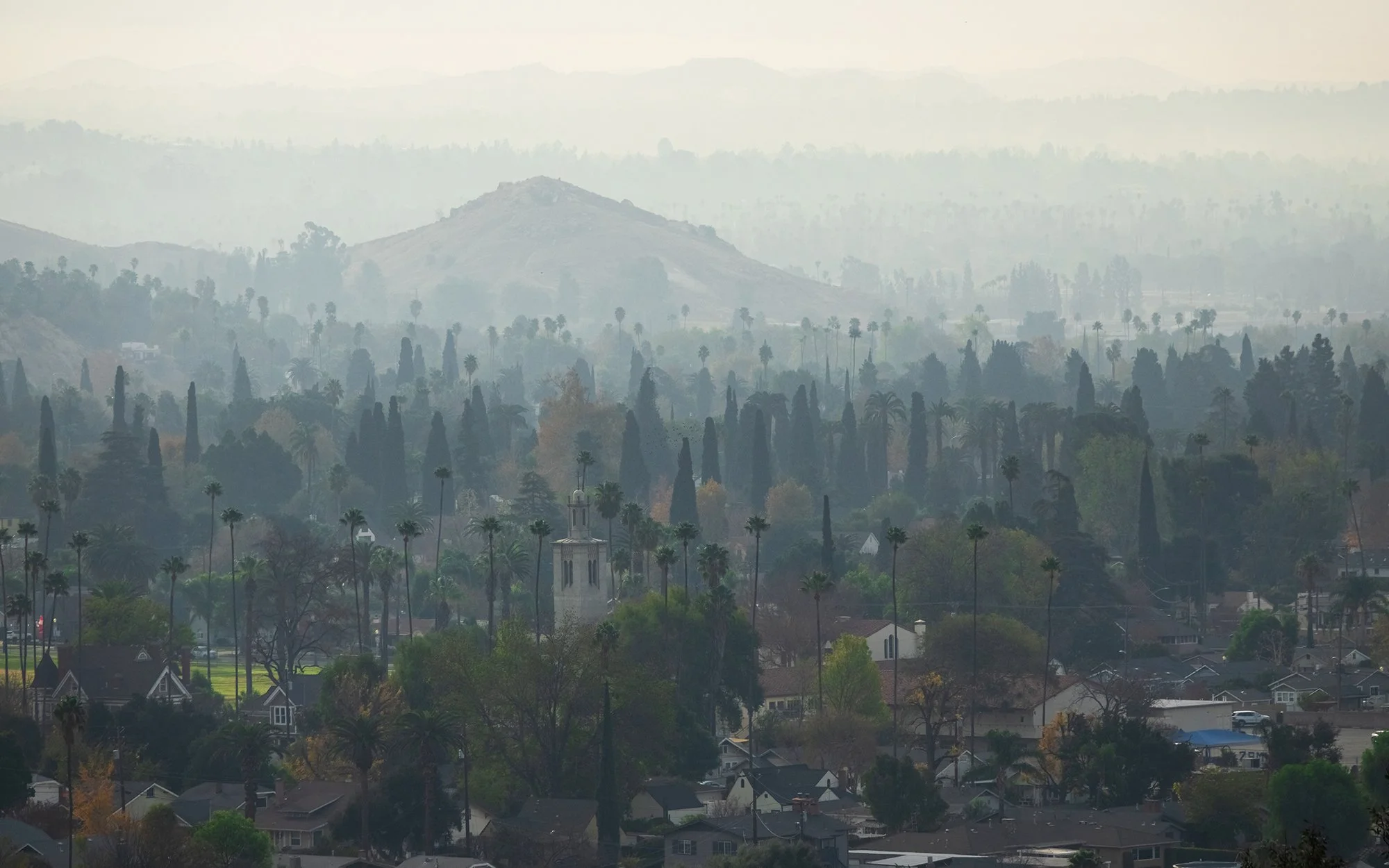
Southern California. We have mostly avoided it through the years since we left and started our careers here on the East Coast, despite the family, childhood friends, and nostalgic places that remain there. Yet, with Jordan now in the picture, it was inevitable that we would eventually bring him back to visit his parents’ childhood home. There are many things that I hate about the place, which I am going to air out so that I can move on to its redeeming qualities, if any. And, I want to be clear, some of these are not the fault of Los Angeles or California themselves, but rather the milieu that we grew up in, and are inevitably surrounded by whenever we return “home” for a visit. The disregard for the natural environment, as evidenced by the endless sprawl, the total lack of land ethic or conservation ethic, the glittering cities-in-the-desert fed by stolen water from the Owens River Valley. The rampant materialism: the car culture, the shopping mall culture, the second homes, the third and fourth cars (as if our planet could afford whatever our bank accounts could afford). The utter lack of season or temporality or passage of time (aside from hot-and-dry and slightly-cooler-and-dry), made all the worse by the denizens who swear by the weather and could not imagine anything better. The sense of confinement: an entire region embalmed in childhood memories, accompanied by a lifeway that seems to constantly, vociferously encourage the default, the rat-race, the re-prioritizing of wealth over reflection, the why-live-your-life-when-you-could-have-this. The being-confined-in-the-car and lectured about where we should live and how many children we should have, as if we weren’t capable of making our own decisions (I won’t outright state which grandparents did this, but a gentle hint: the ones who’ve made the far lesser effort in terms of time, presence, or thought/energy spent on child-rearing). I hate all of this, can’t stand any of it. Jane’s opinion is perhaps worse.
So what is redemptive about this place? Here is what I love: The boundless space. The uniquely Western experience of open skies, the miles of chaparral and alluvial floodplain and desert, stretching out between wherever you are and the Pacific coastline. The sense that there is a truly beautiful landscape buried somewhere a few layers beneath - if one could but wipe all the houses and restaurants and strip malls and parking lots and industrial office parks off its surface. The culture. The interplay between immigrant dreams, mother languages, multigenerational upbringings, and homegrown cuisines that Angelenos so freely navigate, admix, live by. The history of the place: native, Spanish, mestizo, Asian diaspora, and beyond. Family. And yes, that Mediterranean climate. The beach in December. One could get used to it, it’s true.
These redeeming qualities are the things we tried to focus on showing little Jordan, in some small way, during his first visit here. One day, perhaps, he’ll forgive us for not visiting more often. One day, perhaps like us, he’ll have a core of fondness for this place, even as he tries to find his own, different place in the wider world. Even as he learns that some places cannot be called home, no matter where the heart once was.
———
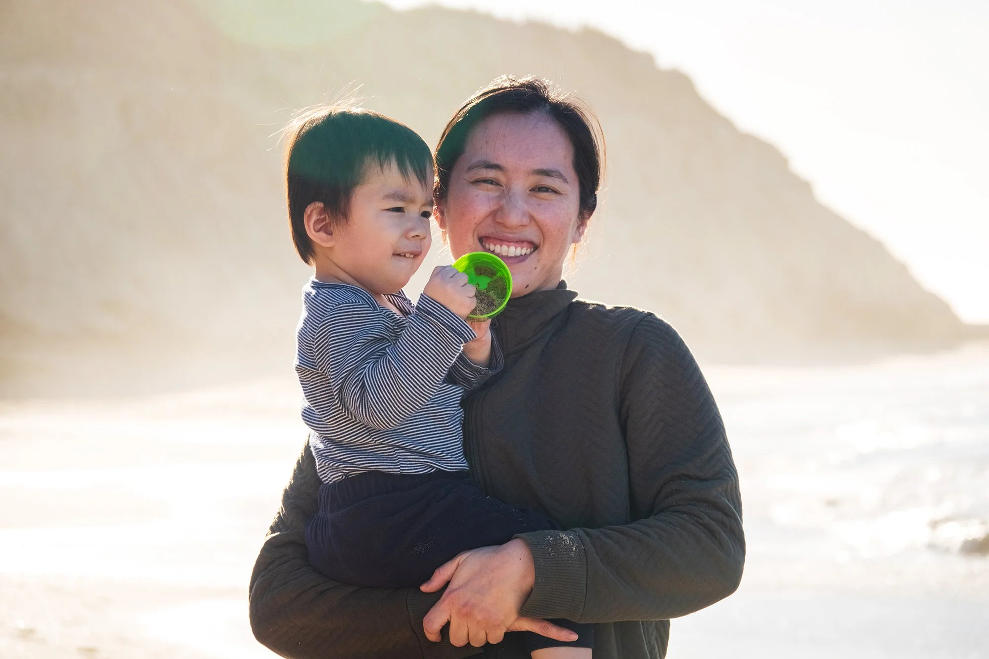
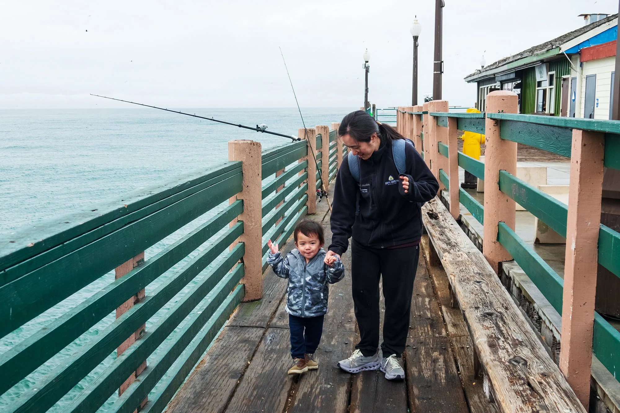
December 15, 2024: With Jordan up well before dawn thanks to jetlag, we head out to catch sunrise at Newport’s Back Bay. Jordan enjoys running along the trails overlooking the estuary here. We then visit the beach in Corona del Mar before heading home for a nap. In the afternoon, we drive to Newport’s Fashion Island shopping center to eat lunch and meet up with my mom. It’s quite sentimental watching Jordan play around beside the outdoor koi pond and the same fountains that I grew up with (well, except the splash pad, which is long gone).
December 16, 2024: A morning walk in Peters Canyon Regional Park. Jordan loves playing with the reeds in the willow grove here, but he gets quite upset because he can’t fathom the idea of a loop hike (we later realize that he pooped somewhere on the hike, and was trying to get us to hustle back to the car for a diaper change). We meet up with a high school classmate at a local park. In the afternoon, I cook dinner for Jane and family.
December 17, 2024: A morning visit with Jane’s parents to Crystal Cove State Park in Newport, followed by brunch, a nap, and an afternoon meet-up with local friends and their toddlers in Irvine.
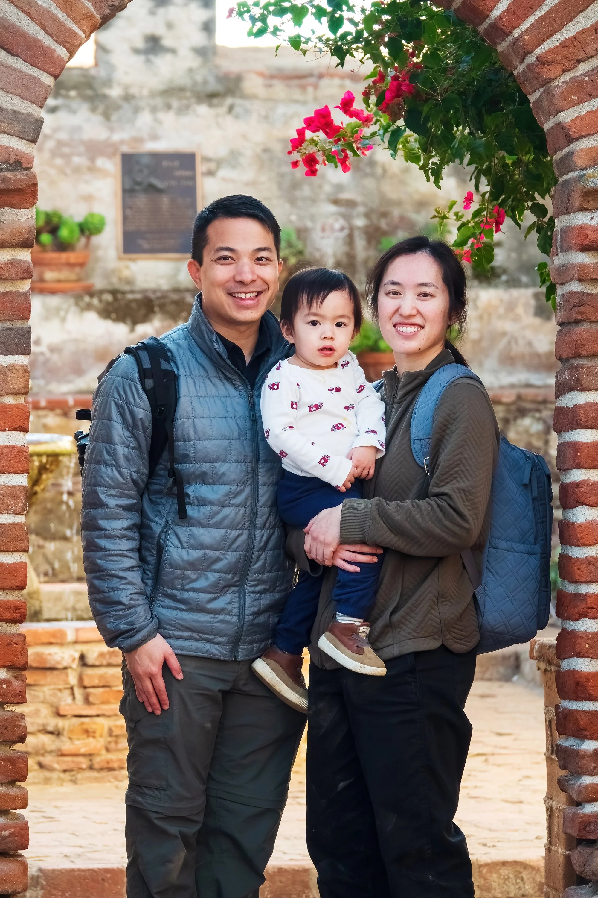
December 18, 2024: We go out with Jane and her family to San Juan Capistrano to show Jordan his first Spanish mission - a bit of California history well-known to every fourth-grader in the state. Jordan enjoys running up and down the corridors of the historic mission complex. In the afternoon, we take Jordan and cousins to South Coast Plaza to have dinner and let them gawk at the mall’s giant Christmas trees, toy trains, and carousel.
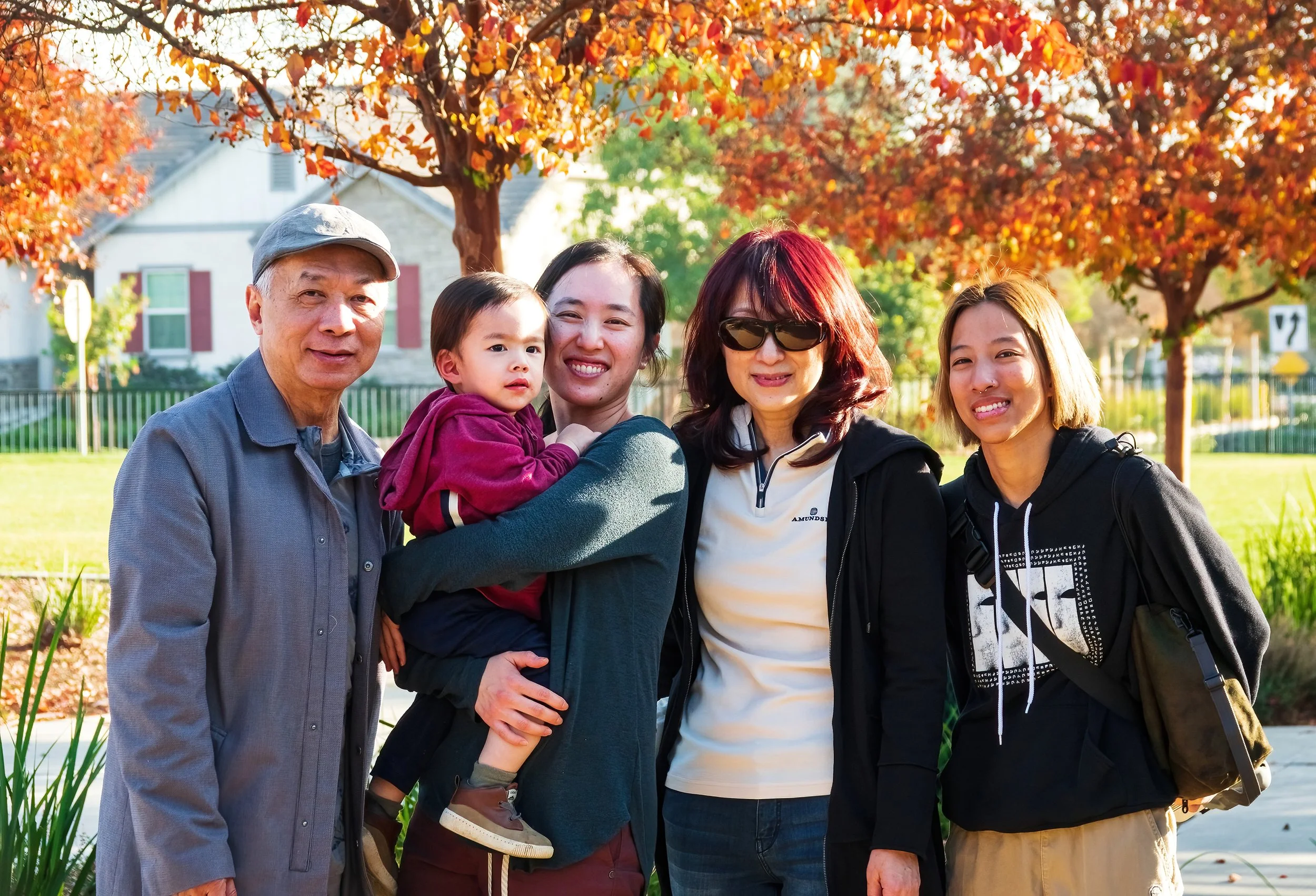
December 19, 2024: A morning hike in Irvine’s Bommer Canyon with Jordan’s grandma, uncle, and cousin. After the walk, we break off from the others and take Jordan out for second breakfast at a local shopping plaza, which consists of four orders of hashbrowns at Dunkin’s (Massholes that we are) plus a large Orange Dream Machine at Jamba Juice (“Jamba Juice! Jamba Juice!” he chants for the rest of the trip). In the afternoon, we visit Irvine’s Great Park and Jordan has fun riding the free (taxpayer-funded) carousel over and over and over and over and over and over and over and over…
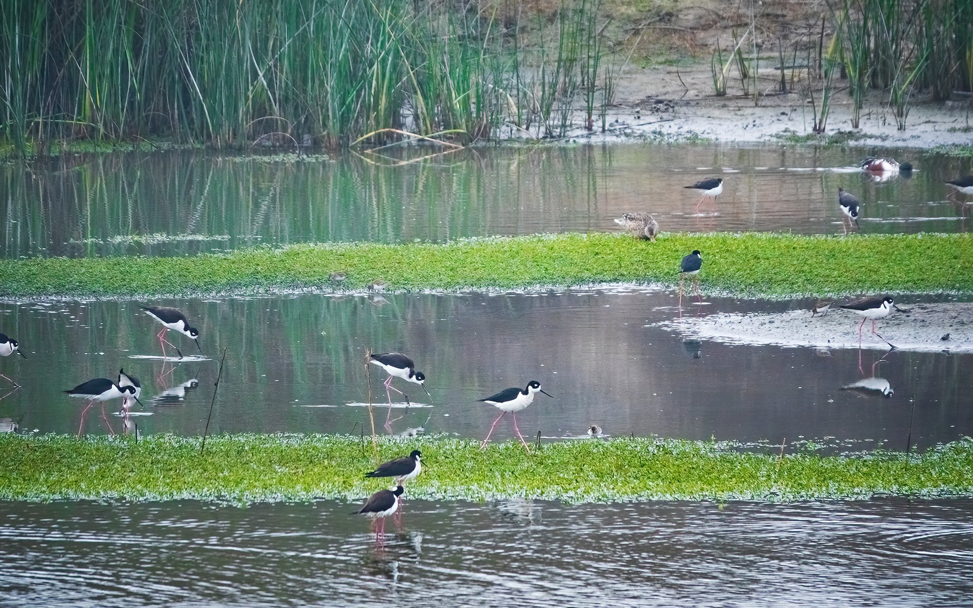
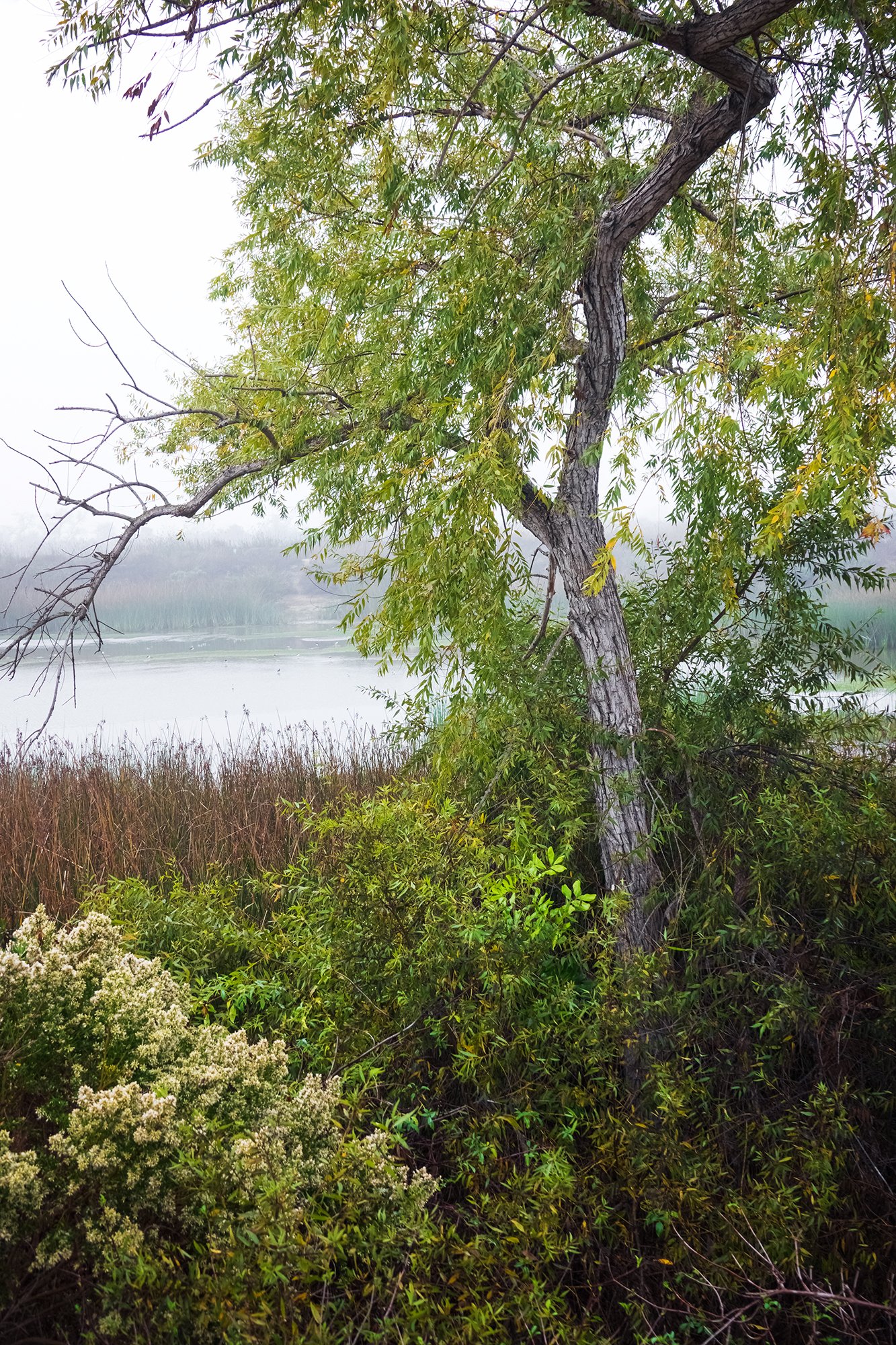
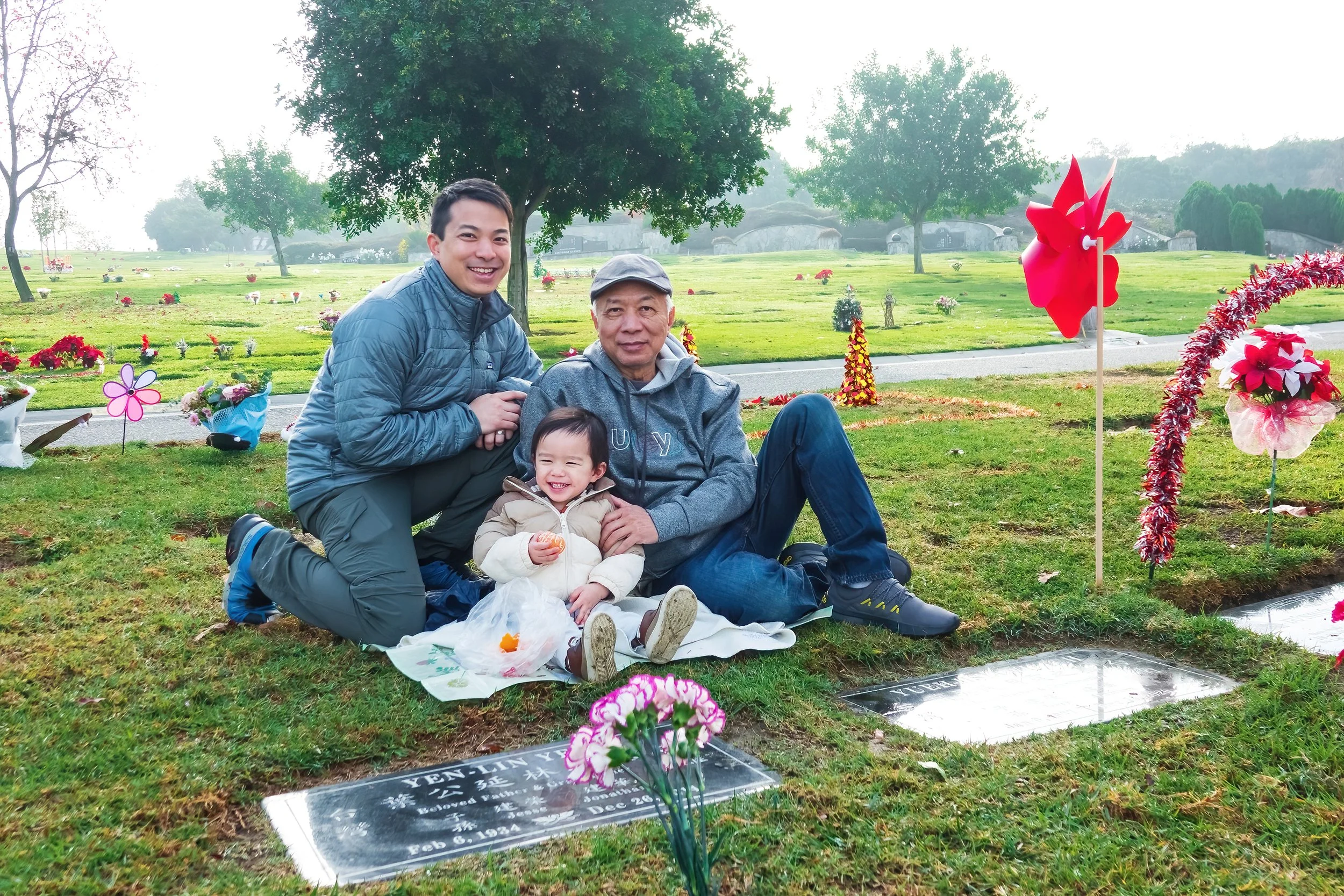
December 20, 2024: We meet up with our high school science teacher (still “Mr. Wahl’ to us) and his wife, visiting San Joaquin Marsh (my first visit there in nine years) and a memorial to their son (our classmate) Michael. Jordan’s interest in the preserve’s birding brochure (which he studies intently in his stroller) puts a smile on Mr. Wahl’s face. Later that morning, we pack our bags and head over to my family in Chino, CA.