“They were godfearing people, those shepherds. There was no love in the relationship. Donnelly tells me that they had one Bible that was passed around in strict rotation. It was stolen by a visiting monk in 1776, two years before the island was abandoned altogether. In the interim, I wonder, did they assign chapter and verse to the stones and grasses, marking the geography with a superimposed significance - that they could actually walk the Bible and inhabit its contradictions?”
- Dan Pinchbeck
Dear Esther
“Fierce landscapes remind us that what we long for and what we fear most are both already within us.”
- Belden Lane
The Solace of Fierce Landscapes
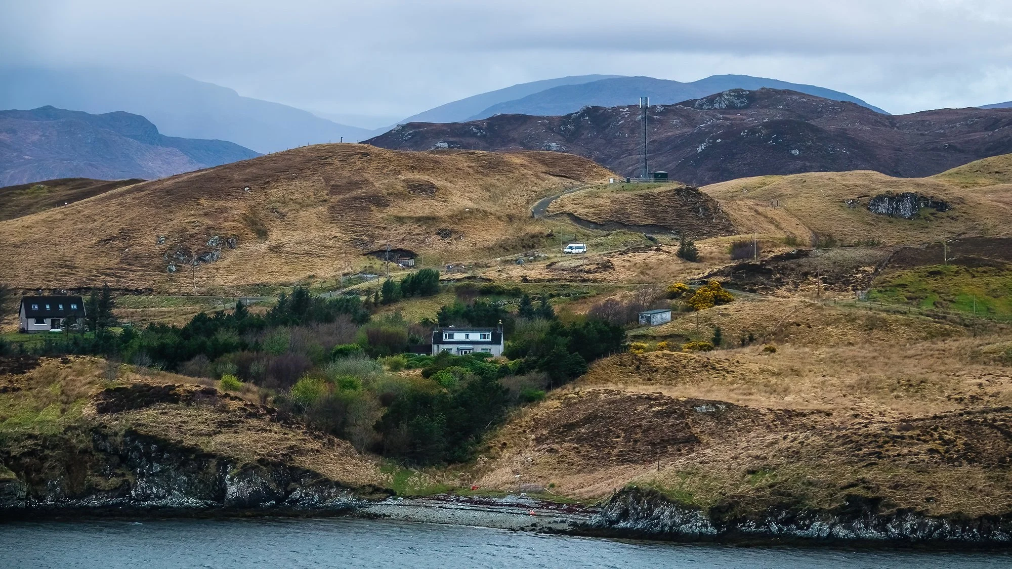
After cleaning up the hut and loading the car, I’m off northward again in the darkness of the early morning. My first destination is nearly an hour away in the Park (Pairc) district, where I’ll be paying a visit to the lonely crofting communities on Lewis’s eastern edge. Just before sunrise, I descend the road overlooking Lemreray (Lemrebhagh), a coastal finishing hamlet overlooking Eilean Glas a’ Bhaigh, the Sound of Shiant, and its namesake islands. It’s an overcast morning, but the rapidly flowing clouds soon give way to breaks of light as I continue over a hill westward to the village of Orinsay. Here, I stretch my legs and take a walk behind the community center, where there is a fabulous view outward to the Shiants. I take photos of the distant hills, the sea view, and the local ewes and lambs, who look a little more surprised than usual to see a visitor in these remote parts.
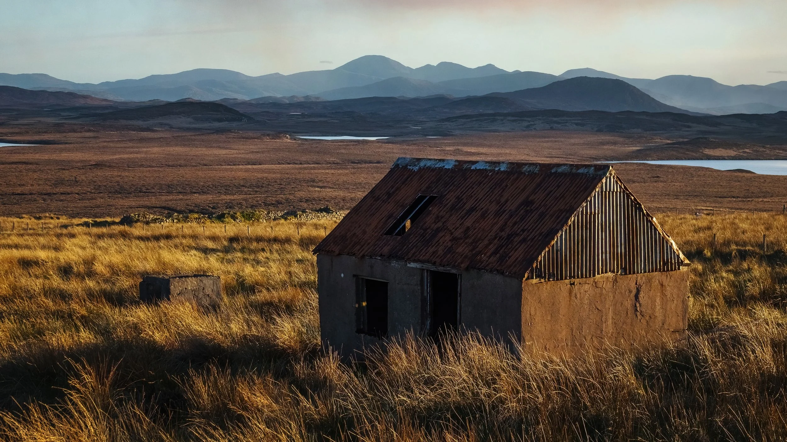
Back over the hill, I retrace my route northward, stopping to climb a local prominence with a radio mast; at the summit, there are sweeping views of the Pairc moorlands and lochs to the north and west. Back on the road after photographing the Free Church of Pairc in Gravir, I continue to the shores of Loch Eiresort. In the communities of Caversta and Garyvard, I take compositions of the loch’s eastern end. A flock of sheep at the end of the cul-de-sac in Caversta, perhaps mistaking me for their breakfast delivery, bleat excitedly as I look around with the camera. Now it’s time to return to the main thoroughfare, driving through a passing rainstorm between ample swaths of blue sky. In Ballahan, I park by the road to wait out the rain before photographing the derelict house once again - this time with frontal, morning light. The old truism about island weather (that if you don’t like it, you can wait a few minutes) proves very true indeed.
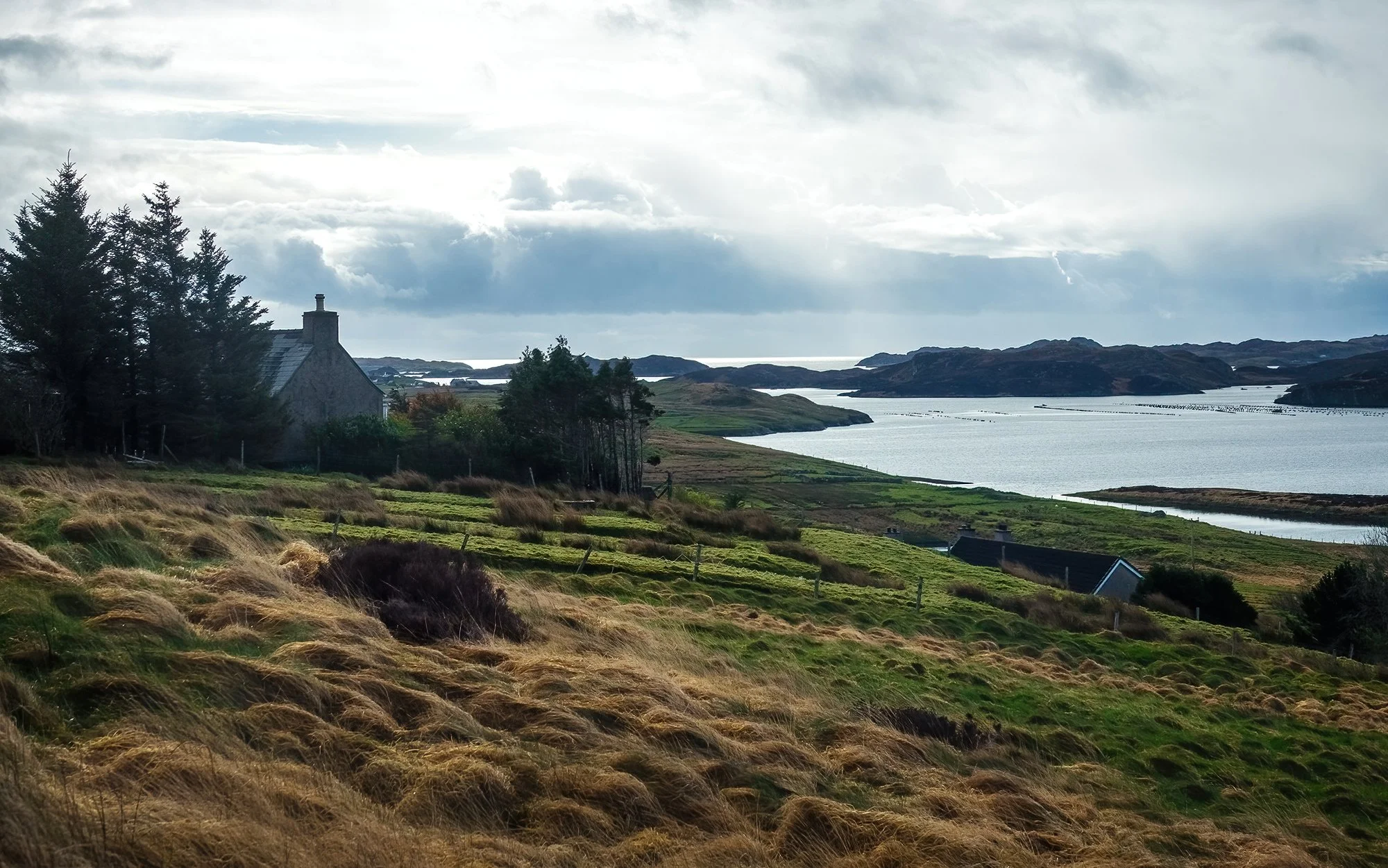
Continuing north now, I photograph the bothy beside Loch Bhaltois before turning eastward along Loch Liurboist. In the village of Leurbost, I scout out a few views of the loch from the residential side street on the hillside above. Then, it’s further on to Ranish, where I drive to the farm at road’s end and set off for a brief walk onto the grazing ground. After letting myself through a fence and dodging cowpies and sheep dung, I climb onto a nearby view to gain views of Loch Grimshader out to the sea. To the south across the sound, I can see the houses of the little settlement of Cromore, nearer to where I started the morning, and to the north, I can see faraway sea stacks and islets near the coast of Stornoway. The early morning’s clouds have cleared, and it’s an impressively bluebird day (for now) on the Isle of Lewis. I take some images with my long lens before heading back to the car.
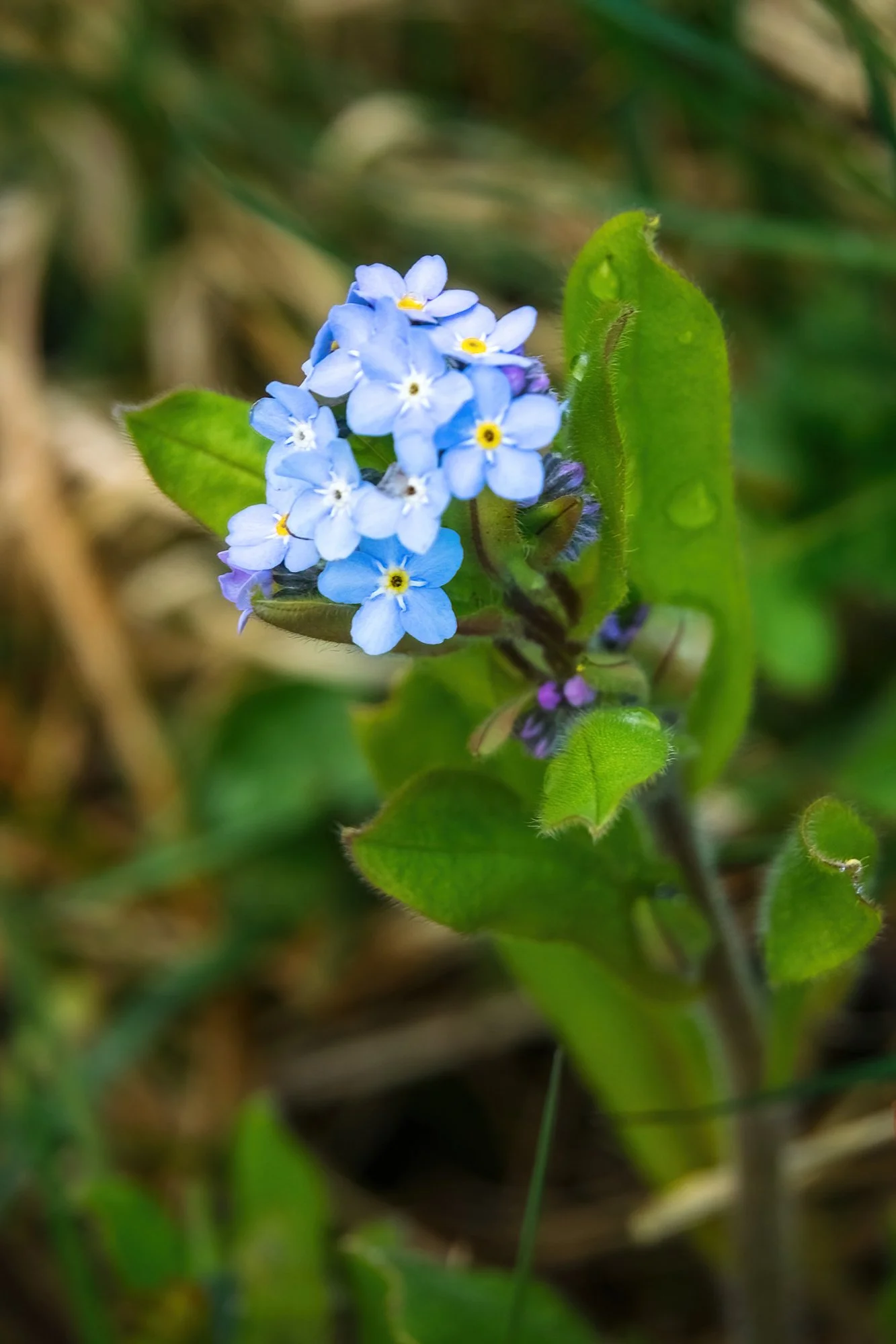
Heading back through Crossbost, I stop by The Weaving Shed to pick up additional gifts for my parents (who I conveniently forgot would be visiting Boston in the next two weeks - roughly timed for my dad’s birthday and for an early Mother’s Day celebration). The shop owner, who learned to weave as a child and produced all the arts and fabrics on display (as in, from raising the sheep to the final product) shows me around and lets me take a photo of her loom and her beautiful garden of native flowers. I purchase a tweed cap for my dad and a neck warmer for my mom. After a brief visit to the local church and cemetery, I return to the highway and head west now, across the moors.
It’s around noon now, and my goal is to cross the island and check-in punctually to my hotel room at 2 PM so that I can take a nap. After scouting a few locations in Achmore, I drive the Pentland Road between Achmore and Breasclete. It’s an impressively lonely stretch of road, but what would otherwise be a desolate and moody landscape is brightened by the sunniest day I have had thus far on the trip. To the south, the mountains of Pairc recede ever further away, across an interminable, treeless expanse of heather crisscrossed by streams, bogs, and lochs. I stop midway in a pullout to stretch my legs and eat lunch while leaning against my car. Although I am ever watchful for oncoming traffic, there is not another soul in sight this afternoon. In Breasclete, I park on the hillside and take a brief stroll through the residential street (photographing flower beds, derelict yards, and a very sociable, excitable border collie) before continuing onward a few miles to the Doune Braes Hotel, my home for two nights. At check-in the hotel proprietor sees my camera, and after asking my plans for the night, mentions that there is a chance of aurora in the forecast… Oh. Oh no. Oh boy.
Yes, it’s going to be one of those nights. Before we get there, a small digression on spontaneity. I have been told by some (read: everyone I’ve ever traveled with) that I am somewhat of an over-planner, at least when it comes to photography. That I should learn to let loose and go off-piste once in awhile. And yes, it’s true that the experience of a new location is quite different when you’ve Google street-viewed the whole place, compared to when you haven’t. For me, though, the magic of showing up with reams of marked GPS coordinates, weather apps, written notes, and additional readings (!) is that it lets me connect with my surroundings in a way that is a bit more meaningful than an average vacation. And that, when an opportunity arises or an unexpected situation develops, I have all the tools at my disposal to be as spontaneous and free-form as I want. This trip has already proven this in spades: instead of shooting single locations for sunrise and sunset (a necessity when shooting timelapse, which I am intentionally eschewing this trip in order to focus more wholly on still photography), I’ve been spending golden hour in multiple locations, quickly hopping from point to point in order to capitalize on the slower sunrises and sunsets in the north.
Which is why, when given a serendipitous heads-up about the aurora by the kindly hotel clerk, I immediately reconfigured my golden hour plans. I would use the evening and its clear skies (horrid for sunset, potentially great for astrophotography…) to scout out the world-famous Callanish Standing Stones, a few miles away. From my pre-planning, I knew that the main cluster of stones is laid out in a cross-like configuration on a hilltop - so it shouldn’t be hard to find a north-facing composition with an interesting foreground. After a brief break at the hotel, I head out to thoroughly explore the Callanish main circle, as well as nearby sites (Callanish II and III) that formed a wider sacred landscape for these Neolithic peoples as well as their Celtic successors. At the main site, I use my phone to take reference images so I have some idea of where to set up when it’s pitch dark and I can only see silhouettes. To the west, on the island of Great Bernera, there is some sort of peat fire burning, sending trails of hazy smoke across the water and several miles inland. Preparation complete (and local forecasts looking promising for both aurora and cloud cover), I finish the daylight hours off with another visit to the roadside bothy in Achmore (a few miles eastward on the highway), followed by a quick swing through the village of Tolsta Chaolais to photograph its charming houses at sunset. Here, as elsewhere throughout the Hebrides, landscape and history are remarkably entwined; everywhere, I have been seeing ruined houses - often blackhouse ruins (drystone walls dating back between 150 to several hundred years, formerly with thatched roofs and earthen floors) beside derelict whitehouses (subsequent, more “modern” two-story houses built with concrete and stone, often by cannibalizing the abandoned blackhouse beside them). Tolsta Chaolais has a remarkable example of these ruins side-by-side; I take my time photographing the derelict house through the ruins of its adjoining blackhouse, carefully using the stone walls to the frame the shot with the colourful sunset behind. Afer this, I stop back at the Dounes Braes to eat dinner and shower, in anticipation of getting to bed quite late.
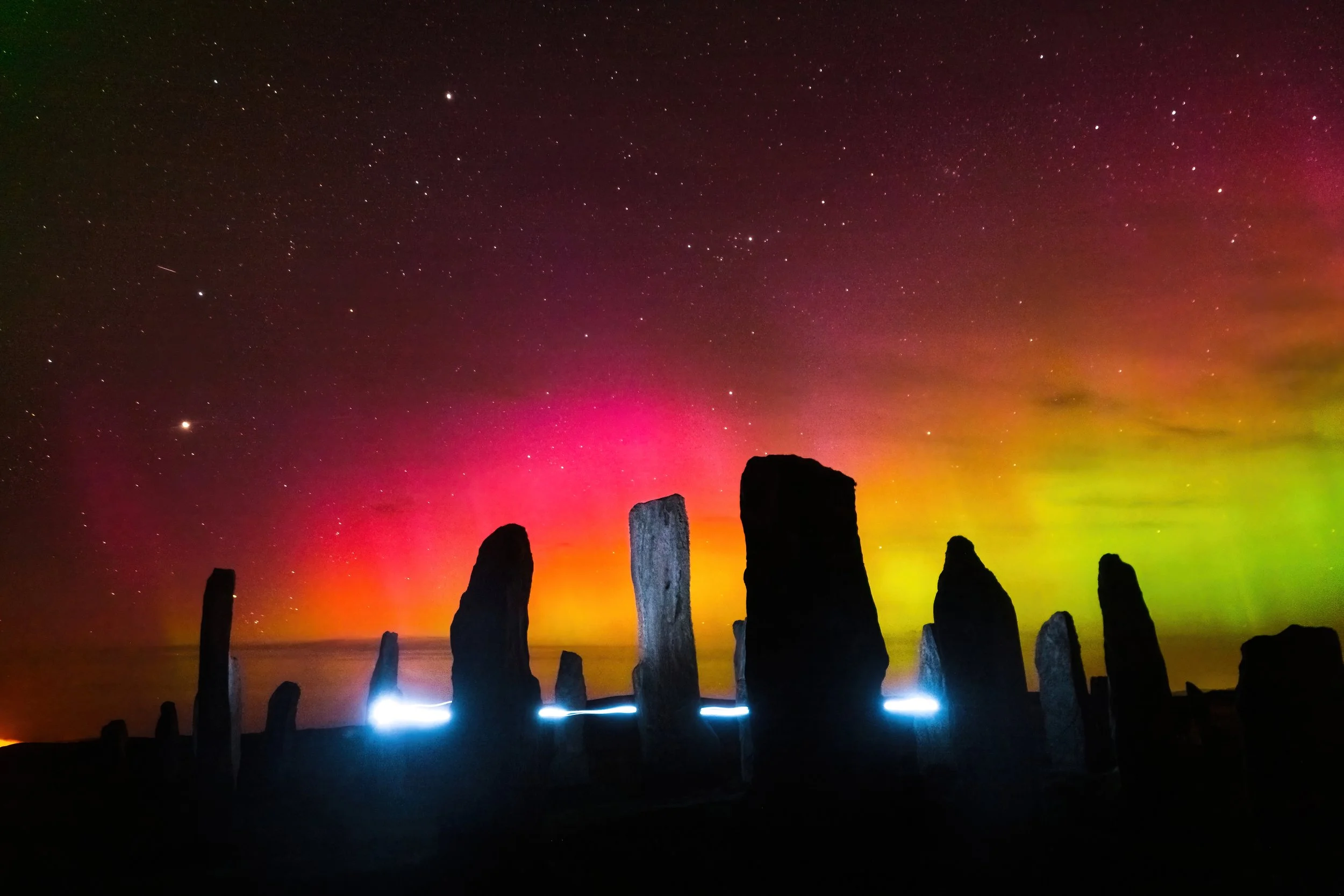
At 9:30 PM, with darkness having begun to set in earnest, I head back south to Callanish. At the standing stones, I am alone, and the experience of walking onto the ancient ritual ground, making my way toward jagged monoliths that suddenly appear out of the darkness in the ghastly light of my headlamp, is more than a bit eerie. To the west, Venus shines brightly above the horizon, glowing pale and ochre; below it, the peat fire on the nearby island is continuing to burn, the flames now glowing visibly red and orange in the night. In the last light of twilight, I take some west-facing compositions of the central monolith and burial chamber before shifting around the circle to look north.
After an hour of making subtle adjustments and nailing down focus (non-trivial in total darkness, even making use of headlamp and starlight), the last light fades, the street lamps in the nearby village begin to flicker off, and I finally see it: the telltale colour in the sky. To the naked eye, it appears like bands of turquoise or teal discoloration in an otherwise black night; for a moment, I mistake it for the earlier smoke clouds from the peat fire, coming as they are from a similar direction. But the next camera exposure leaves no room for doubt: I am seeing my fourth lifetime aurora borealis, completely through serendipity and dumb luck, and in one of the most sacred and special places I could have possibly imagined. I spend the next few hours shooting the Standing Stones with the northern lights dancing in the skies above; I also run what must be over a hundred laps inside the stone circle, gradually mastering a fifteen-second route (and head motions) with my headlamp that allow me to adequately highlight the foreground, “paint” the main central monolith, and create an interesting light trail that circles the burial chamber like an floating spirit orb or will-o’-the-wisp. It does feel somewhat sacrilegious, maniacally sprinting circles around the stone circle, bobbing and weaving my head wildly - but then again, what could be more pagan than creating art while celebrating the night sky? I pause to wonder and imagine how Neolithic peoples may have used this ground - as a ceremonial site, as is widely hypothesized? As a space for gathering and community, much like the tourist families with their kids laughing and playing patty-cake earlier in the afternoon? Or as an enduring symbol of their love of their natural world and landscape - much as I’m doing? Part of me thinks: if their ghosts could see me frolicking around their sacred stones beneath a springtime aurora, perhaps they would wholeheartedly approve. Past midnight, I return to the hotel, happy to have just concluded one of the most exciting, technically challenging, and stupendously productive photography outings of my entire life.
