“The dig was not far from the village. It was situated where the old marine terrace gave way to rolling, empty moorland. Here, the ground became boggy under the interminable light of arctic summer, and the wind was always whipping across the treeless expanse, carrying with it the faint smell of salt and sea in the distance. Even up here in the moors, you never felt far from the ocean, nor could you ever forget its presence.”
- Opening lines, Jordan and the Milky Way Sutra
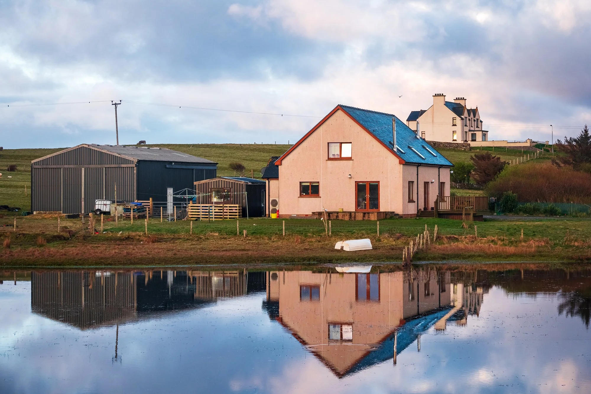
My final full day of the trip. Today will finally see me finishing my tour of Harris and Lewis, having gone from their southern terminus (Rodel) to the very northern tip at the Butt of Lewis. I sleep in a bit, but am still up early enough to drive out for sunrise scenes in the villages to the northeast. From the far side of a nearby pond, I shoot the stately church in Cross; the air is calm (a genuinely rarity in these windy parts), and the village buildings are cleanly reflected in the pond’s surface. Walking back to the car, I see grey rain clouds developing off the coast to the northwest, while the sun rises progressively higher in the east. Recognizing an opportunity, I drive on to a smaller single-track road (the Cross-Skigersta road, which parallels the two-lane highway into Ness), and am rewarded when a beautiful and tall rainbow forms between the bands of sunlight and smirrs of rain. On the smaller road (and on a lower elevation than the main road), I am able to pull over more casually and hunt for interesting foreground subjects to pair with the weather. I find such a subject: a ruined, derelict house with a classic red telephone box (also ruined) standing by its side.
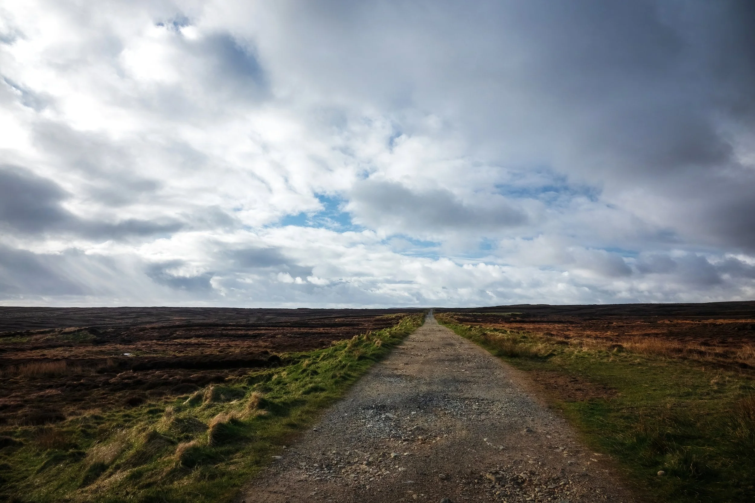
To the east, I visit the tiny settlement of Skigersta, stopping by the boat jetty to photograph the cliffs, as well as the nearby, stone-cold white house overlooking the ocean, which was writer Peter May’s inspiration for protagonist Fin’s aunt’s house in his Lewis-based mystery trilogy, which I have been reading during this trip. After another viewpoint in nearby Adabroc (again making use of the rainbow) and a bathroom break by the breakwater in Ness - then I head south from Skigersta to walk a stretch of the Ness-Tolsta Heritage Trail, a long unfinished road into the moorland that runs down the east coast of the island. The road, such as it were, leaves Skigersta and passes through the miles of peat banks outside of the village. On either side, I see the neat channels, lined with freshly cut blocks stacked atop one another, drying in the sun. There are locals at work in the fields, stacking the finished blocks onto their trucks. It’s hard work - the dried, compressed plant matter (which forms inch by inch over the years as dead plants accumulates faster than they decompose in the wet, anoxic bogs) is light, and burns easily, though it can take over a hundred thousand blocks to heat a home through the winter. Gas and electricity prices being what they are on the island, it’s unsurprising that many households still use this ancient source of fuel. In the distance to my east, the land terminates in the ocean, and there are no outlying isles or silhouettes to see here on the horizon, for aside from Cape Wrath and the Orkney and Shetland Islands (far away to the east across the Minch), I am near the northernmost limit of Scotland.
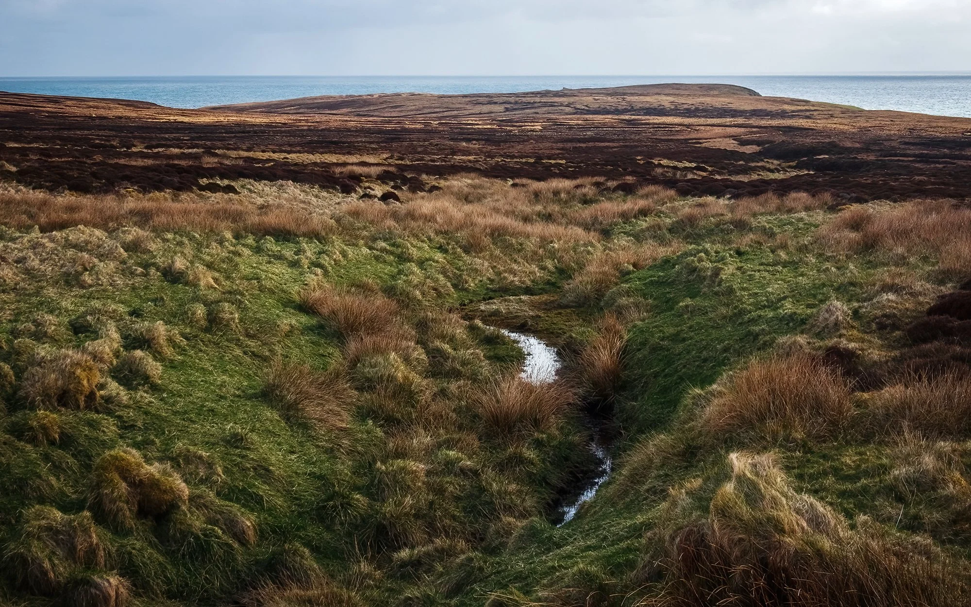
After over two miles of easy walking along the gravel, the road curves around a rise and descends to a small cluster of summer shielings (an airidh) - outlying huts used in the past by families moving their animals between seasonal grazing grounds. After a stream crossing, the road terminates, and I quickly find myself walking a fairly minimal path through the bog (albeit marked intermittently by trail markers, which seem almost to be taunting one from afar across the undulating, wet terrain). Although my hope for the morning was to reach the ruined chapel of Filicleitir (which I can see on a distant cliff, barely half a mile away), things soon take a nasty turn when I misjudge a small stream crossing for a patch of moss-covered solid ground, and immediately find myself almost waist-high in surprisingly deep, peaty water. Hauling myself out of the pool using some nearby heather, I re-assess the situation and decide to return to the car as quickly as possible to change out of my wet clothes and boots. Thankfully, it’s a fairly clear and (by Lewis standards) temperate day, and my camera and phone are still working well enough. Nevertheless, what felt like a survival situation for a few seconds soon becomes a hilarious and humbling reminder about the difficulties of wayfinding in the moorland. I stop by the shieling village, using a convenient bench to take my water-logged boots off and wring out my socks, before power-walking the rest of the distance back to the car. The brief car ride back to Galson is a smelly one (coated and permeated as I am by bog aroma and fine particulate plant matter), and I spend most of the afternoon hand-washing my clothes, spraying down my boots, and hanging everything up to dry as best it can before my flight home on the morrow.
In the early evening, after a bit of rest, I head out again (donning the still-damp boots) to see the final few sites of the trip. At the northernmost point of Lewis, I stop by the lighthouse to watch the crashing waves and the marine birds circling the rookery on the nearby rocks. Nearby, I leave the car in the village and visit St. Moluag’s Chapel, located down a long, daffodil-lines grass walk in the outskirts of the settlement. The church is deserted at this hour, but its cold stone interior feels oddly comforting to me - a break from the wind and the gloom developing outside. I sit for awhile in the pews, and photograph the stained glass behind the altar before moving. Finally, I move down the road to the dunes overlooking Eoropie Beach, where a very subdued sunset is beginning. Rather than walk out to the beach, what catches my eye is the children’s playground overlooking the dunes. Perhaps it’s because of my fatigue and damp boots, or perhaps it’s because I’m at the end of my week-long trip, and missing Jane and Jordan more than a little bit. In any case, I step into the abandoned playground and make its equipment - the swings, the seesaws, and the little merry-go-round - the subjects of my final sunset shoot, and my last photographs of this unforgettable trip.
The next morning, it’s a mid-morning drive over the Barvas moor, passing roadside by the small shieling with a green tin roof (a place of significance in Peter May’s novel The Blackhouse - where protagonist Fin was orphaned by a motor vehicle accident). In Stornoway, I pass the remainder of the morning sitting by the harbor relaxing in the car, as it’s raining in earnest and I have no desire to put on my boots any sooner than I have to. Then, after a lovely lunch of fish and chips at Cameron’s Chip Shop, it’s out of town and to the airport - three flights and a long journey home to be reunited with my lovely ones.
“He who farthest away did e’er roam // Am fear is fhaide chaidh bho’n bhaile
Heard the sweetest music on returning home // Chual e’n ceòl bu mhlis’ nuair thill e”
- Gaelic saying


